UN
14 Anglers Way
£ 490,000
Description
We don't have a Description for this property.
- Bedrooms
- 4
- Bathrooms
- 0
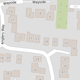
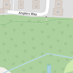

Leaflet © OpenStreetMap contributors
The heatmap indicates the level of crime in the area. The color of the heatmap indicates the crime severity and recency.
Metrics Year-on-Year
- Average area value
- 661,429.00 £Increased by 15.45 %
- Average area rental value
- 3,717.00 £/moIncreased by 151.32 %
- Est rental Yield
- 6.74 %Increased by 117.42 %
- Crime Rate
- 32.00 %Unchanged by 0.00 %
from 572,901.00 £
from 1,479.00 £/mo
from 3.10 %
from 32.00 %
Nearby Schools
| Name | Type | Ofsted | Distance |
|---|---|---|---|
| Sarisbury Church Of England Junior School | Voluntary Controlled School | Outstanding | 1.58 KM |
| Fair Ways School | Other Independent Special School | Outstanding | 1.83 KM |
| Sarisbury Infant School | Community School | Outstanding | 1.95 KM |
| The Windmill And Sails Children'S Centre | Children's Centre | 2.05 KM | |
| Bursledon Church Of England Infant School | Voluntary Controlled School | Good | 2.18 KM |
Images
Nearby Streets
| Name | Average Price | Average Sqft | Distance |
|---|---|---|---|
| Swan Close | £ 0 | 0 | 0.00 KM |
| Station Road | £ 0 | 0 | 0.00 KM |
| M27 | £ 0 | 0 | 0.00 KM |
| St Pauls Road | £ 0 | 0 | 0.00 KM |
| Cold East Close | £ 350,000 | 0 | 0.00 KM |
Nearby Transport
| Name | NLC | TLC | Distance |
|---|---|---|---|
| Bursledon | 5927 | BUO | 1.14 KM |
| Swanwick | 5920 | SNW | 3.31 KM |
| Hamble | 5947 | HME | 4.04 KM |
| Netley | 5911 | NTL | 5.30 KM |
| Botley | 5894 | BOE | 5.37 KM |
Nearby Listings
| Address | Price | Type | Score | Distance |
|---|---|---|---|---|
| Anglers Way, Lower Swanwick, Hampshire, SO31 | £ 675,000 | BUY | 8 / 10 | 0.00 KM |
| Anglers Way, Southampton | £ 525,000 | BUY | Unknown | 0.01 KM |
| Anglers Way, Swanwick | £ 475,000 | BUY | 8 / 10 | 0.01 KM |
| Querida Close, Lower Swanwick, SO31 | £ 475,000 | BUY | 7 / 10 | 0.06 KM |
| Anglers Way, Lower Swanwick, Southampton | £ 575,000 | BUY | Unknown | 0.10 KM |
Nearby Properties
| Address | Price | Distance |
|---|---|---|
| 14 Anglers Way | £ 490,000 | 0.00 KM |
| 16 Anglers Way | £ 345,000 | 0.00 KM |
| 8 Anglers Way | £ 410,000 | 0.00 KM |
| 12 Anglers Way | £ 290,000 | 0.00 KM |
| 6 Anglers Way | £ 342,500 | 0.00 KM |