UN
19 East Lodge
£ 260,000
Description
We don't have a Description for this property.
- Bedrooms
- 3
- Bathrooms
- 0
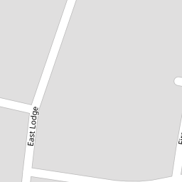


Leaflet © OpenStreetMap contributors
The heatmap indicates the level of crime in the area. The color of the heatmap indicates the crime severity and recency.
Metrics Year-on-Year
- Average area value
- 629,500.00 £Increased by 11.99 %
- Average area rental value
- 1,800.00 £/moIncreased by 14.07 %
- Est rental Yield
- 3.43 %Increased by 1.78 %
- Crime Rate
- 4.00 %Unchanged by 0.00 %
from 562,095.00 £
from 1,578.00 £/mo
from 3.37 %
from 4.00 %
Nearby Schools
| Name | Type | Ofsted | Distance |
|---|---|---|---|
| Heathfield Special School | Community Special School | Good | 0.58 KM |
| St Francis Special School | Community Special School | Good | 0.58 KM |
| Ranvilles Junior School | Community School | Good | 0.66 KM |
| Ranvilles Infant School | Community School | Outstanding | 0.66 KM |
| The Henry Cort Community College | Community School | Good | 1.07 KM |
Images
Nearby Streets
| Name | Average Price | Average Sqft | Distance |
|---|---|---|---|
| Sandisplatt | £ 254,975 | 0 | 0.00 KM |
| Rowan Way | £ 300,000 | 0 | 0.00 KM |
| Brendon Road | £ 269,950 | 0 | 0.00 KM |
| Coppice Way | £ 440,000 | 0 | 0.00 KM |
| Craven Court | £ 315,000 | 0 | 0.00 KM |
Nearby Transport
| Name | NLC | TLC | Distance |
|---|---|---|---|
| Fareham | 5900 | FRM | 2.97 KM |
| Swanwick | 5920 | SNW | 5.80 KM |
| Botley | 5894 | BOE | 8.40 KM |
Nearby Listings
| Address | Price | Type | Score | Distance |
|---|---|---|---|---|
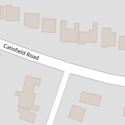
| CATISFIELD ROAD, CATISFIELD, FAREHAM | £ 575,000 | BUY | 7 / 10 | 0.10 KM |
| East Lodge, Fareham | £ 500,000 | BUY | 7 / 10 | 0.11 KM |
| Beechcroft Close, Fareham | £ 365,000 | BUY | Unknown | 0.11 KM |
| Catisfield Road, Fareham | £ 775,000 | BUY | 7 / 10 | 0.15 KM |
| Cherrygarth Road, Fareham | £ 600,000 | BUY | 5 / 10 | 0.18 KM |
Nearby Properties
| Address | Price | Distance |
|---|---|---|
| 11 East Lodge | £ 545,000 | 0.00 KM |
| 15 East Lodge | £ 113,500 | 0.00 KM |
| 9 East Lodge | £ 340,000 | 0.00 KM |
| 19 East Lodge | £ 260,000 | 0.00 KM |
| 88 Catisfield Road | £ 325,000 | 0.11 KM |