UN
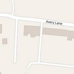
1 Avery Lane
£ 57,950
Description
We don't have a Description for this property.
- Bedrooms
- 2
- Bathrooms
- 0


Leaflet © OpenStreetMap contributors
The heatmap indicates the level of crime in the area. The color of the heatmap indicates the crime severity and recency.
Metrics Year-on-Year
- Average area value
- 253,750.00 £Increased by 8.42 %
- Average area rental value
- 1,011.00 £/moDecreased by 7.50 %
- Est rental Yield
- 4.78 %Decreased by 14.64 %
- Crime Rate
- 5.00 %Unchanged by 0.00 %
from 234,048.00 £
from 1,093.00 £/mo
from 5.60 %
from 5.00 %
Nearby Schools
| Name | Type | Ofsted | Distance |
|---|---|---|---|
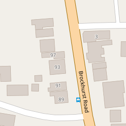
| Brockhurst Primary School | Community School | Good | 0.28 KM |
| Brune Park Community School | Academy Sponsor Led | Requires improvement | 0.79 KM |
| The Tree House And Little Waves Children'S Centre | Children's Centre | 0.80 KM | |
| St Mary'S Catholic Primary School | Voluntary Aided School | Requires improvement | 0.86 KM |
| Elson Infant School | Community School | Good | 0.87 KM |
Images
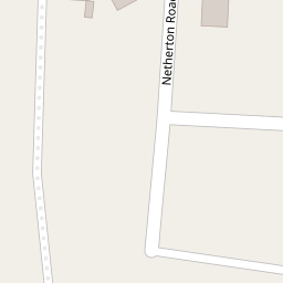
Nearby Streets
| Name | Average Price | Average Sqft | Distance |
|---|---|---|---|
| Avery Lane | £ 255,000 | 0 | 0.00 KM |
| Grange Close | £ 575,000 | 0 | 0.00 KM |
| Palmyra Road | £ 315,000 | 0 | 0.00 KM |
| Palmyra Road | £ 190,000 | 0 | 0.00 KM |
| Vale Grove | £ 285,000 | 0 | 0.00 KM |
Nearby Transport
| Name | NLC | TLC | Distance |
|---|---|---|---|
| Portsmouth Harbour | 5540 | PMH | 4.94 KM |
| Portchester | 5928 | PTC | 5.57 KM |
| Portsmouth And Southsea | 5537 | PMS | 6.75 KM |
| Fareham | 5900 | FRM | 6.84 KM |
| Ryde Pier Head | 5541 | RYP | 7.57 KM |
Nearby Listings
| Address | Price | Type | Score | Distance |
|---|---|---|---|---|
| Avery Lane, Gosport, Hampshire, PO12 | £ 220,000 | BUY | Unknown | 0.04 KM |
| Teignmouth Road, Gosport, Hampshire, PO12 | £ 250,000 | BUY | Unknown | 0.09 KM |
| Netherton Road, Gosport, Hampshire, PO12 | £ 340,000 | BUY | Unknown | 0.11 KM |
| Brockhurst Road, Gosport | £ 148,000 | BUY | 5 / 10 | 0.12 KM |
| Brockhurst Road, Gosport, PO12 | £ 245,000 | BUY | 6 / 10 | 0.13 KM |
Nearby Properties
| Address | Price | Distance |
|---|---|---|
| 27 Avery Lane | £ 115,000 | 0.00 KM |
| 1 Avery Lane | £ 57,950 | 0.00 KM |
| 13 Avery Lane | £ 93,000 | 0.00 KM |
| 19 Avery Lane | £ 135,000 | 0.00 KM |
| 15 Avery Lane | £ 220,000 | 0.00 KM |