UN
9 Hollytrees
£ 650,000
Description
We don't have a Description for this property.
- Bedrooms
- 4
- Bathrooms
- 0
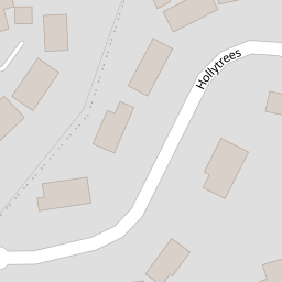
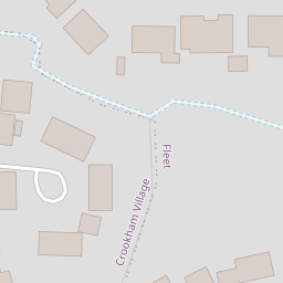
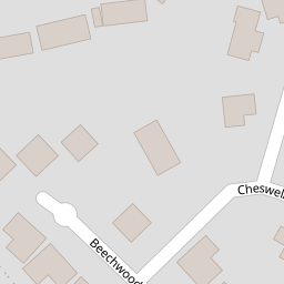
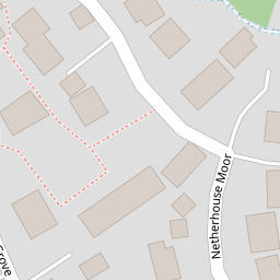

Leaflet © OpenStreetMap contributors
The heatmap indicates the level of crime in the area. The color of the heatmap indicates the crime severity and recency.
Metrics Year-on-Year
- Average area value
- 389,766.00 £Increased by 18.89 %
- Average area rental value
- 1,334.00 £/moDecreased by 19.30 %
- Est rental Yield
- 4.11 %Decreased by 32.07 %
- Crime Rate
- 8.00 %Unchanged by 0.00 %
from 327,847.00 £
from 1,653.00 £/mo
from 6.05 %
from 8.00 %
Nearby Schools
| Name | Type | Ofsted | Distance |
|---|---|---|---|
| All Saints Church Of England Aided Junior School | Voluntary Aided School | Good | 0.73 KM |
| Court Moor School | Community School | Good | 0.85 KM |
| Tavistock Infant School | Community School | Good | 0.89 KM |
| Crookham Church Of England Aided Infant School | Voluntary Aided School | Good | 1.31 KM |
| Fleet Fireflies Children'S Centre | Children's Centre Linked Site | 1.36 KM |
Images
Nearby Streets
| Name | Average Price | Average Sqft | Distance |
|---|---|---|---|
| Rustic Glen | £ 280,000 | 0 | 0.00 KM |
| Broadacres | £ 487,379 | 0 | 0.00 KM |
| Featherfall Road | £ 778,600 | 0 | 0.00 KM |
| Nightingale View | £ 0 | 0 | 0.00 KM |
| Tumps View | £ 0 | 0 | 0.00 KM |
Nearby Transport
| Name | NLC | TLC | Distance |
|---|---|---|---|
| Fleet | 5522 | FLE | 3.45 KM |
| Winchfield | 5528 | WNF | 6.20 KM |
| Farnham | 5545 | FNH | 9.26 KM |
| Bentley (Hampshire) | 5624 | BTY | 9.92 KM |
Nearby Listings
| Address | Price | Type | Score | Distance |
|---|---|---|---|---|
| Hollytrees, Church Crookham, Fleet, GU51 | £ 800,000 | BUY | 7 / 10 | 0.04 KM |
| Cheswell Gardens, Church Crookham, Fleet, GU51 | £ 775,000 | BUY | 6 / 10 | 0.10 KM |
| Hollytrees, Church Crookham, GU51 | £ 1,195,000 | BUY | 7 / 10 | 0.14 KM |
| Netherhouse Moor, Church Crookham, Fleet, GU51 | £ 800,000 | BUY | Unknown | 0.20 KM |
| Lea Springs, Fleet, Hampshire, GU51 | £ 410,000 | BUY | Unknown | 0.27 KM |
Nearby Properties
| Address | Price | Distance |
|---|---|---|
| 13 Hollytrees | £ 775,000 | 0.00 KM |
| 5 Hollytrees | £ 515,000 | 0.00 KM |
| 8 Hollytrees | £ 850,000 | 0.00 KM |
| 9 Hollytrees | £ 650,000 | 0.00 KM |
| 10 Hollytrees | £ 565,000 | 0.00 KM |