UN
46a Albany Road
£ 555,000
Description
We don't have a Description for this property.
- Bedrooms
- 4
- Bathrooms
- 0
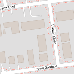
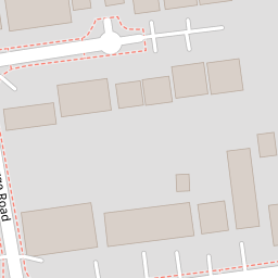
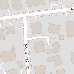
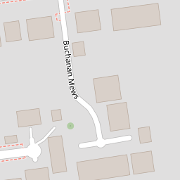

Leaflet © OpenStreetMap contributors
The heatmap indicates the level of crime in the area. The color of the heatmap indicates the crime severity and recency.
Metrics Year-on-Year
- Average area value
- 220,958.00 £Increased by 13.54 %
- Average area rental value
- 984.00 £/moIncreased by 7.31 %
- Est rental Yield
- 5.34 %Decreased by 5.49 %
- Crime Rate
- 8.00 %Unchanged by 0.00 %
from 194,601.00 £
from 917.00 £/mo
from 5.65 %
from 8.00 %
Nearby Schools
| Name | Type | Ofsted | Distance |
|---|---|---|---|
| Velmead Junior School | Community School | Good | 0.63 KM |
| Fleet Infant School | Community School | Outstanding | 0.65 KM |
| Heatherside Junior School | Community School | Outstanding | 1.17 KM |
| Heatherside Infant School | Community School | Outstanding | 1.17 KM |
| Fleet Fireflies Children'S Centre | Children's Centre Linked Site | 1.69 KM |
Images
Nearby Streets
| Name | Average Price | Average Sqft | Distance |
|---|---|---|---|
| Shelley Close | £ 0 | 0 | 0.00 KM |
| Gainsborough Court | £ 165,000 | 0 | 0.00 KM |
| Argyll Court | £ 0 | 0 | 0.00 KM |
| Pondview Close | £ 0 | 0 | 0.00 KM |
| Royal Court | £ 0 | 0 | 0.00 KM |
Nearby Transport
| Name | NLC | TLC | Distance |
|---|---|---|---|
| Fleet | 5522 | FLE | 1.32 KM |
| Sandhurst (Berks) | 5646 | SND | 8.10 KM |
| Blackwater | 5625 | BAW | 8.35 KM |
| Farnborough (Main) | 5521 | FNB | 8.48 KM |
| Winchfield | 5528 | WNF | 8.50 KM |
Nearby Listings
| Address | Price | Type | Score | Distance |
|---|---|---|---|---|
| George Road, Fleet, Hampshire, GU51 | £ 515,000 | BUY | Unknown | 0.14 KM |
| George Road, Fleet | £ 565,000 | BUY | 7 / 10 | 0.16 KM |
| Albany Road, Fleet, Hampshire, GU51 | £ 800,000 | BUY | Unknown | 0.17 KM |
| Fleet, Hampshire, GU51 | £ 325,000 | BUY | 6 / 10 | 0.21 KM |
| Kings Road, Fleet, Hampshire, GU51 | £ 800,000 | BUY | Unknown | 0.25 KM |
Nearby Properties
| Address | Price | Distance |
|---|---|---|
| 50 Albany Road | £ 596,000 | 0.00 KM |
| 52 Albany Road | £ 820,000 | 0.00 KM |
| 46a Albany Road | £ 555,000 | 0.00 KM |
| 36 Albany Road | £ 285,000 | 0.00 KM |
| 48b Albany Road | £ 580,000 | 0.00 KM |