UN
10 Crownfields
£ 495,000
Description
We don't have a Description for this property.
- Bedrooms
- 4
- Bathrooms
- 0
- Sqft
- 1,602.00
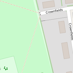
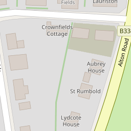
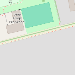
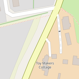

Leaflet © OpenStreetMap contributors
The heatmap indicates the level of crime in the area. The color of the heatmap indicates the crime severity and recency.
Metrics Year-on-Year
- Average area value
- 220,958.00 £Increased by 13.54 %
- Est sale value
- 382,878.00 £Increased by 14.35 %
- Average area rental value
- 984.00 £/moIncreased by 7.31 %
- Est letting value
- 1,602.00 £/mo
- Est rental Yield
- 5.34 %Decreased by 5.49 %
- Crime Rate
- 54.00 %Unchanged by 0.00 %
from 194,601.00 £
from 334,818.00 £
from 917.00 £/mo
from 0.00 £/mo
from 5.65 %
from 54.00 %
Nearby Schools
| Name | Type | Ofsted | Distance |
|---|---|---|---|
| Wisteria Children'S Centre | Children's Centre Linked Site | 0.69 KM | |
| Robert May'S School | Academy Converter | Good | 0.72 KM |
| Mayhill Junior School | Community School | Good | 0.72 KM |
| Buryfields Infant School | Community School | Good | 0.87 KM |
| Long Sutton Church Of England Primary School | Voluntary Controlled School | Good | 3.42 KM |
Images
Nearby Streets
| Name | Average Price | Average Sqft | Distance |
|---|---|---|---|
| South Ridge | £ 395,000 | 0 | 0.00 KM |
| Crumplins Business Court | £ 575,000 | 0 | 0.00 KM |
| Ralph Court | £ 0 | 0 | 0.00 KM |
| Castle Rise | £ 405,000 | 0 | 0.00 KM |
| Seymour Place | £ 0 | 0 | 0.00 KM |
Nearby Transport
| Name | NLC | TLC | Distance |
|---|---|---|---|
| Hook | 5523 | HOK | 3.54 KM |
| Winchfield | 5528 | WNF | 5.67 KM |
Nearby Listings
| Address | Price | Type | Score | Distance |
|---|---|---|---|---|
| Crownfields, Odiham, Hook, Hampshire | £ 885,000 | BUY | 7 / 10 | 0.13 KM |
| Alton Road, Odiham, Hook, RG29 | £ 1,150,000 | BUY | Unknown | 0.15 KM |
| Bartons Court , Odiham , Hook, RG29 | £ 395,000 | BUY | 5 / 10 | 0.17 KM |
| Dunleys Hill, Odiham, Hook, RG29 | £ 245,000 | BUY | 6 / 10 | 0.18 KM |
| Regal Heights, Western Lane, RG29 | £ 345,000 | BUY | 7 / 10 | 0.19 KM |
Nearby Properties
| Address | Price | Distance |
|---|---|---|
| 10 Crownfields | £ 495,000 | 0.00 KM |
| 1 Crownfields | £ 384,500 | 0.00 KM |
| 1 West Street | £ 315,000 | 0.11 KM |
| Dervaig | £ 399,950 | 0.11 KM |
| Leys | £ 301,000 | 0.11 KM |