UN
4 Anthony Way
£ 335,000
Description
We don't have a Description for this property.
- Bedrooms
- 3
- Bathrooms
- 0
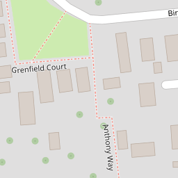
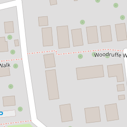
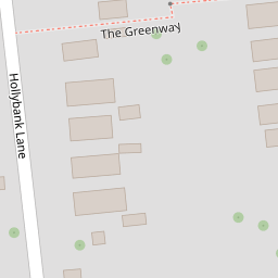
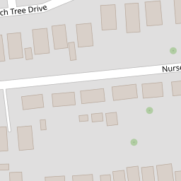

Leaflet © OpenStreetMap contributors
The heatmap indicates the level of crime in the area. The color of the heatmap indicates the crime severity and recency.
Metrics Year-on-Year
- Average area value
- 544,832.00 £Increased by 17.07 %
- Average area rental value
- 1,422.00 £/moIncreased by 21.12 %
- Est rental Yield
- 3.13 %Increased by 3.30 %
- Crime Rate
- 5.00 %Unchanged by 0.00 %
from 465,384.00 £
from 1,174.00 £/mo
from 3.03 %
from 5.00 %
Nearby Schools
| Name | Type | Ofsted | Distance |
|---|---|---|---|
| St James Church Of England Controlled Primary School | Voluntary Controlled School | Good | 0.52 KM |
| Glenwood School | Community Special School | Requires improvement | 1.21 KM |
| Emsworth Primary School | Community School | Good | 1.49 KM |
| The Orchard Children'S Centre | Children's Centre Linked Site | 1.60 KM | |
| Westbourne Primary School | Community School | Good | 1.77 KM |
Images
Nearby Streets
| Name | Average Price | Average Sqft | Distance |
|---|---|---|---|
| Nursery Close | £ 0 | 0 | 0.00 KM |
| Exeter Close | £ 0 | 0 | 0.00 KM |
| Spire View | £ 0 | 0 | 0.00 KM |
| Brunswick Place | £ 180,000 | 0 | 0.00 KM |
| Rivermead Court | £ 0 | 0 | 0.00 KM |
Nearby Transport
| Name | NLC | TLC | Distance |
|---|---|---|---|
| Emsworth | 5257 | EMS | 1.12 KM |
| Warblington | 5264 | WBL | 3.31 KM |
| Southbourne | 5263 | SOB | 3.67 KM |
| Rowlands Castle | 5658 | RLN | 4.00 KM |
| Havant | 5532 | HAV | 4.84 KM |
Nearby Listings
| Address | Price | Type | Score | Distance |
|---|---|---|---|---|
| Grenfield Court, Birch Tree Drive, Emsworth | £ 475,000 | BUY | Unknown | 0.10 KM |
| Grenfield Court, Emsworth | £ 645,000 | BUY | Unknown | 0.10 KM |
| Southleigh Road, Emsworth | £ 600,000 | BUY | Unknown | 0.11 KM |
| Woodruffe Walk, Emsworth | £ 375,000 | BUY | 8 / 10 | 0.15 KM |
| Birch Tree Drive, Emsworth | £ 475,000 | BUY | 6 / 10 | 0.19 KM |
Nearby Properties
| Address | Price | Distance |
|---|---|---|
| 2 Anthony Way | £ 137,000 | 0.00 KM |
| 4a Anthony Way | £ 318,000 | 0.00 KM |
| 5 Anthony Way | £ 265,000 | 0.00 KM |
| 4 Anthony Way | £ 335,000 | 0.00 KM |
| 1 Anthony Way | £ 205,000 | 0.00 KM |