UN
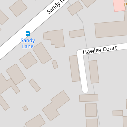
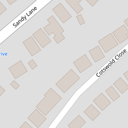
7 Sandy Lane
£ 68,000
Description
We don't have a Description for this property.
- Bedrooms
- 2
- Bathrooms
- 0

Leaflet © OpenStreetMap contributors
The heatmap indicates the level of crime in the area. The color of the heatmap indicates the crime severity and recency.
Metrics Year-on-Year
- Average area value
- 512,294.00 £Increased by 10.10 %
- Average area rental value
- 1,433.00 £/moIncreased by 5.06 %
- Est rental Yield
- 3.36 %Decreased by 4.55 %
- Crime Rate
- 6.00 %Unchanged by 0.00 %
from 465,296.00 £
from 1,364.00 £/mo
from 3.52 %
from 6.00 %
Nearby Schools
| Name | Type | Ofsted | Distance |
|---|---|---|---|
| Butterflies Children'S Centre | Children's Centre | 0.80 KM | |
| Manor Infant School | Community School | Outstanding | 0.81 KM |
| Manor Junior School | Community School | Good | 0.81 KM |
| Hurst Lodge School | Other Independent School | 0.86 KM | |
| The Ferns Primary Academy | Academy Converter | 1.02 KM |
Images
Nearby Streets
| Name | Average Price | Average Sqft | Distance |
|---|---|---|---|
| Hawley Place Gardens | £ 430,000 | 0 | 0.00 KM |
| Hawley View | £ 400,000 | 0 | 0.00 KM |
| Martins Park | £ 67,500 | 0 | 0.00 KM |
| St John's Road | £ 658,333 | 0 | 0.00 KM |
| M3 | £ 0 | 0 | 0.00 KM |
Nearby Transport
| Name | NLC | TLC | Distance |
|---|---|---|---|
| Blackwater | 5625 | BAW | 2.33 KM |
| Farnborough (Main) | 5521 | FNB | 2.87 KM |
| Frimley | 5683 | FML | 3.37 KM |
| Farnborough North | 5688 | FNN | 3.92 KM |
| Camberley | 5682 | CAM | 4.65 KM |
Nearby Listings
| Address | Price | Type | Score | Distance |
|---|---|---|---|---|
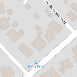
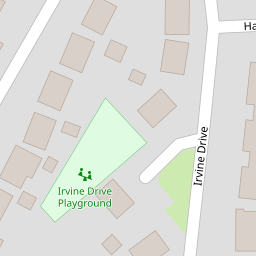
| Irvine Drive, Farnborough | £ 410,000 | BUY | 6 / 10 | 0.14 KM |
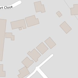
| Cotswold Close, Farnborough, Hampshire | £ 750,000 | BUY | 6 / 10 | 0.14 KM |
| Cotswold Close, Farnborough, GU14 | £ 700,000 | BUY | 8 / 10 | 0.14 KM |
| Sandy Lane, Farnborough, Hampshire, GU14 | £ 405,000 | BUY | 7 / 10 | 0.15 KM |
| Fernhill Road, Farnborough, GU14 | £ 190,000 | BUY | 5 / 10 | 0.15 KM |
Nearby Properties
| Address | Price | Distance |
|---|---|---|
| 32 Sandy Lane | £ 215,000 | 0.00 KM |
| 34 Sandy Lane | £ 396,000 | 0.00 KM |
| 7 Sandy Lane | £ 68,000 | 0.00 KM |
| 4 Sandy Lane | £ 239,000 | 0.03 KM |
| 21 Sandy Lane | £ 430,000 | 0.03 KM |