UN
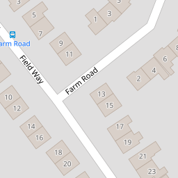
17 Farm Road
£ 310,000
Description
We don't have a Description for this property.
- Bedrooms
- 3
- Bathrooms
- 0
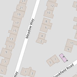

Leaflet © OpenStreetMap contributors
The heatmap indicates the level of crime in the area. The color of the heatmap indicates the crime severity and recency.
Metrics Year-on-Year
- Average area value
- 336,995.00 £Increased by 12.55 %
- Average area rental value
- 1,032.00 £/moDecreased by 12.32 %
- Est rental Yield
- 3.67 %Decreased by 22.25 %
- Crime Rate
- 1.00 %Unchanged by 0.00 %
from 299,429.00 £
from 1,177.00 £/mo
from 4.72 %
from 1.00 %
Nearby Schools
| Name | Type | Ofsted | Distance |
|---|---|---|---|
| Maple Vue Children'S Centre | Children's Centre | 1.14 KM | |
| Alderwood School | Community School | Good | 1.16 KM |
| Walsh Memorial Cofe Controlled Infant School | Voluntary Controlled School | Outstanding | 1.24 KM |
| Walsh Cofe Junior School | Voluntary Controlled School | Requires improvement | 1.24 KM |
| Shawfield Primary School | Community School | Good | 1.28 KM |
Images
Nearby Streets
| Name | Average Price | Average Sqft | Distance |
|---|---|---|---|
| Lea Way | £ 350,000 | 0 | 0.00 KM |
| Harvest Lane | £ 0 | 0 | 0.00 KM |
| Windsor Gardens | £ 0 | 0 | 0.00 KM |
| Alpha Road | £ 0 | 0 | 0.00 KM |
| Manor Road cycle path | £ 0 | 0 | 0.00 KM |
Nearby Transport
| Name | NLC | TLC | Distance |
|---|---|---|---|
| Ash | 5641 | ASH | 2.43 KM |
| North Camp | 5636 | NCM | 2.60 KM |
| Ash Vale | 5547 | AHV | 2.60 KM |
| Aldershot | 5623 | AHT | 2.88 KM |
| Farnborough (Main) | 5521 | FNB | 5.42 KM |
Nearby Listings
| Address | Price | Type | Score | Distance |
|---|---|---|---|---|
| Farm Road, Aldershot, Hampshire, GU12 | £ 425,000 | BUY | 7 / 10 | 0.01 KM |
| Field Way, Aldershot, Hampshire, GU12 | £ 400,000 | BUY | 6 / 10 | 0.06 KM |
| Field Way, Aldershot, Hampshire, GU12 | £ 410,000 | BUY | Unknown | 0.10 KM |
| Field Way, Aldershot, Hampshire, GU12 | £ 350,000 | BUY | 7 / 10 | 0.11 KM |
| Brookfield Road, Aldershot, Hampshire | £ 465,000 | BUY | 7 / 10 | 0.25 KM |
Nearby Properties
| Address | Price | Distance |
|---|---|---|
| 24 Farm Road | £ 217,500 | 0.00 KM |
| 11 Farm Road | £ 343,000 | 0.00 KM |
| 17 Farm Road | £ 310,000 | 0.00 KM |
| 20 Farm Road | £ 227,000 | 0.00 KM |
| 29 Farm Road | £ 450,000 | 0.00 KM |