UN
5 Station Road
£ 243,500
Description
We don't have a Description for this property.
- Bedrooms
- 3
- Bathrooms
- 0
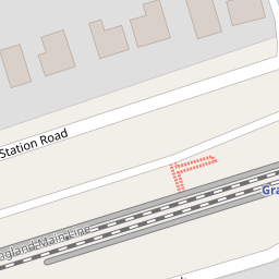
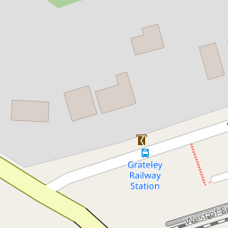
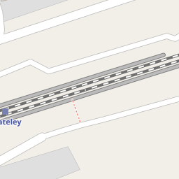
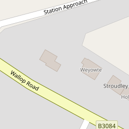

Leaflet © OpenStreetMap contributors
The heatmap indicates the level of crime in the area. The color of the heatmap indicates the crime severity and recency.
Metrics Year-on-Year
- Average area value
- 612,632.00 £Decreased by 7.91 %
- Average area rental value
- 2,113.00 £/moDecreased by 19.14 %
- Est rental Yield
- 4.14 %Decreased by 12.10 %
- Crime Rate
- 110.00 %Unchanged by 0.00 %
from 665,263.00 £
from 2,613.00 £/mo
from 4.71 %
from 110.00 %
Nearby Schools
| Name | Type | Ofsted | Distance |
|---|---|---|---|
| Grateley House School | Other Independent Special School | Inadequate | 1.89 KM |
| Grateley Primary School | Community School | Good | 1.93 KM |
| Kimpton, Thruxton And Fyfield Church Of England Primary School | Voluntary Aided School | Good | 5.91 KM |
| Wallop Primary School | Community School | Good | 6.05 KM |
| Amport Church Of England Primary School | Voluntary Aided School | Good | 6.57 KM |
Images
Nearby Streets
| Name | Average Price | Average Sqft | Distance |
|---|---|---|---|
| Zion Road | £ 750,000 | 0 | 0.00 KM |
Nearby Transport
| Name | NLC | TLC | Distance |
|---|---|---|---|
| Grateley | 5514 | GRT | 0.09 KM |
Nearby Listings
| Address | Price | Type | Score | Distance |
|---|---|---|---|---|
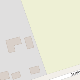
| Station Approach, Grateley, SP11 | £ 227,950 | BUY | 5 / 10 | 0.12 KM |
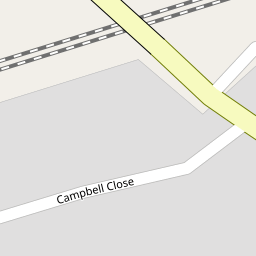
| Campbell Close, Grateley, SP11 7DY | £ 350,000 | BUY | 7 / 10 | 0.24 KM |
| Wallop Road, Grateley, Andover, SP11 7EB | £ 650,000 | BUY | 6 / 10 | 0.30 KM |
| Wallop Road, Grateley, Andover | £ 565,000 | BUY | Unknown | 0.30 KM |
| Salisbury Road, Palestine, Andover | £ 1,500,000 | BUY | 8 / 10 | 0.52 KM |
Nearby Properties
| Address | Price | Distance |
|---|---|---|
| 2 Station Road | £ 332,500 | 0.00 KM |
| Heathstone | £ 575,000 | 0.00 KM |
| Low Mead | £ 85,500 | 0.00 KM |
| 5 Station Road | £ 243,500 | 0.00 KM |
| Kevington | £ 330,000 | 0.00 KM |