UN
5 Greensey
£ 130,000
Description
We don't have a Description for this property.
- Bedrooms
- 2
- Bathrooms
- 0

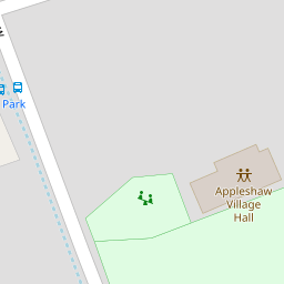
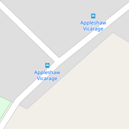

Leaflet © OpenStreetMap contributors
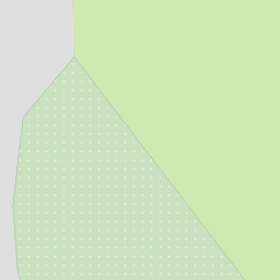
The heatmap indicates the level of crime in the area. The color of the heatmap indicates the crime severity and recency.
Metrics Year-on-Year
- Average area value
- 397,143.00 £Increased by 19.84 %
- Average area rental value
- 950.00 £/moDecreased by 13.08 %
- Est rental Yield
- 2.87 %Decreased by 27.53 %
- Crime Rate
- 164.00 %Unchanged by 0.00 %
from 331,408.00 £
from 1,093.00 £/mo
from 3.96 %
from 164.00 %
Nearby Schools
| Name | Type | Ofsted | Distance |
|---|---|---|---|
| Appleshaw St Peter'S Cofe Primary School | Voluntary Aided School | Good | 0.70 KM |
| Kimpton, Thruxton And Fyfield Church Of England Primary School | Voluntary Aided School | Good | 4.09 KM |
| Amport Church Of England Primary School | Voluntary Aided School | Good | 4.46 KM |
| Hatherden Church Of England Primary School | Voluntary Aided School | Serious Weaknesses | 6.24 KM |
| Ludgershall Castle Primary School | Foundation School | Good | 6.30 KM |
Images
Nearby Streets
| Name | Average Price | Average Sqft | Distance |
|---|---|---|---|
| Appleshaw | £ 299,950 | 0 | 0.00 KM |
| Sunnyside | £ 575,000 | 0 | 0.00 KM |
| Privet Lane | £ 900,000 | 0 | 0.00 KM |
Nearby Transport
| Name | NLC | TLC | Distance |
|---|---|---|---|
| Andover | 5510 | ADV | 8.16 KM |
| Grateley | 5514 | GRT | 9.87 KM |
Nearby Listings
| Address | Price | Type | Score | Distance |
|---|---|---|---|---|
| **LARGE PLOT**Greensey, Appleshaw, SP11 | £ 350,000 | BUY | 6 / 10 | 0.00 KM |
| Greensey, Ragged Appleshaw, Andover, SP11 9HY | £ 360,000 | BUY | 6 / 10 | 0.02 KM |
| Greensey, Ragged Appleshaw, Andover, SP11 9HY | £ 350,000 | BUY | Unknown | 0.02 KM |
| Greenside, Appleshaw, Andover, SP11 9BS | £ 800,000 | BUY | 6 / 10 | 0.30 KM |
| Appleshaw, Andover | £ 635,000 | BUY | Unknown | 0.35 KM |
Nearby Properties
| Address | Price | Distance |
|---|---|---|
| 39 Greensey | £ 290,000 | 0.00 KM |
| 48 Greensey | £ 175,000 | 0.00 KM |
| 5 Greensey | £ 130,000 | 0.00 KM |
| 50 Greensey | £ 325,000 | 0.00 KM |
| 45 Greensey | £ 315,000 | 0.00 KM |