UN
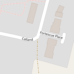
20 Calland
£ 245,000
Description
We don't have a Description for this property.
- Bedrooms
- 3
- Bathrooms
- 0
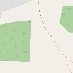

Leaflet © OpenStreetMap contributors
The heatmap indicates the level of crime in the area. The color of the heatmap indicates the crime severity and recency.
Metrics Year-on-Year
- Average area value
- 278,019.00 £Increased by 21.15 %
- Average area rental value
- 919.00 £/moDecreased by 8.01 %
- Est rental Yield
- 3.97 %Decreased by 23.95 %
- Crime Rate
- 89.00 %Unchanged by 0.00 %
from 229,480.00 £
from 999.00 £/mo
from 5.22 %
from 89.00 %
Nearby Schools
| Name | Type | Ofsted | Distance |
|---|---|---|---|
| Smeeth Community Primary School | Foundation School | Requires improvement | 0.44 KM |
| Caldecott Foundation School | Non-maintained Special School | Good | 2.16 KM |
| Brabourne Church Of England Primary School | Voluntary Controlled School | Good | 2.50 KM |
| Sellindge Primary School | Community School | Outstanding | 4.07 KM |
| Aldington Primary School | Foundation School | Good | 4.48 KM |
Images
Nearby Streets
| Name | Average Price | Average Sqft | Distance |
|---|---|---|---|
| The Chestnuts | £ 430,000 | 0 | 0.00 KM |
| Lilyvale Road | £ 0 | 0 | 0.00 KM |
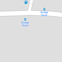
Nearby Transport
| Name | NLC | TLC | Distance |
|---|---|---|---|
| Westenhanger | 5030 | WHA | 8.05 KM |
| Wye | 5031 | WYE | 8.31 KM |
Nearby Listings
| Address | Price | Type | Score | Distance |
|---|---|---|---|---|
| Calland, Ashford, Kent, TN25 | £ 270,000 | BUY | 6 / 10 | 0.00 KM |
| Gorgeous Cottage, Smeeth, Ashford | £ 425,000 | BUY | Unknown | 0.15 KM |
| Bridge Road, Ashford, Kent, TN25 | £ 550,000 | BUY | Unknown | 0.21 KM |
| Woolpack Hill, Smeeth, Ashford, Kent, TN25 | £ 550,000 | BUY | Unknown | 0.22 KM |
| Plain Road, Smeeth, Ashford | £ 285,000 | BUY | Unknown | 0.26 KM |
Nearby Properties
| Address | Price | Distance |
|---|---|---|
| 33 Calland | £ 267,500 | 0.00 KM |
| 21 Calland | £ 250,000 | 0.00 KM |
| 20 Calland | £ 245,000 | 0.00 KM |
| 32 Calland | £ 120,138 | 0.00 KM |
| 16 Calland | £ 186,000 | 0.00 KM |