UN
Garth
£ 215,000
Description
We don't have a Description for this property.
- Bedrooms
- 2
- Bathrooms
- 0
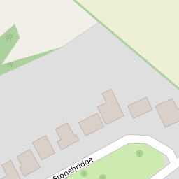
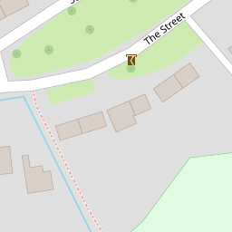


Leaflet © OpenStreetMap contributors
The heatmap indicates the level of crime in the area. The color of the heatmap indicates the crime severity and recency.
Metrics Year-on-Year
- Average area value
- 278,019.00 £Increased by 21.15 %
- Average area rental value
- 919.00 £/moDecreased by 8.01 %
- Est rental Yield
- 3.97 %Decreased by 23.95 %
- Crime Rate
- 506.00 %Unchanged by 0.00 %
from 229,480.00 £
from 999.00 £/mo
from 5.22 %
from 506.00 %
Nearby Schools
| Name | Type | Ofsted | Distance |
|---|---|---|---|
| Brook Community Primary School | Foundation School | Requires improvement | 0.89 KM |
| Wye School | Free Schools | Good | 2.97 KM |
| Lady Joanna Thornhill Endowed Primary School | Voluntary Controlled School | Outstanding | 3.23 KM |
| Spring Grove School 2003 Ltd | Other Independent School | 4.17 KM | |
| Smeeth Community Primary School | Foundation School | Requires improvement | 4.51 KM |
Images
Nearby Streets
| Name | Average Price | Average Sqft | Distance |
|---|---|---|---|
| Plumpton Road | £ 950,000 | 0 | 0.00 KM |
| Nats Lane | £ 1,325,000 | 0 | 0.00 KM |
| Nackholt track | £ 875,000 | 0 | 0.00 KM |
Nearby Transport
| Name | NLC | TLC | Distance |
|---|---|---|---|
| Wye | 5031 | WYE | 3.67 KM |
| Ashford International | 5004 | AFK | 8.41 KM |
| Chilham | 5009 | CIL | 9.87 KM |
Nearby Listings
| Address | Price | Type | Score | Distance |
|---|---|---|---|---|
| The Street, Brook, Ashford TN25 | £ 450,000 | BUY | 6 / 10 | 0.09 KM |
| The Street, Brook, Ashford, Kent, TN25 | £ 475,000 | BUY | Unknown | 0.12 KM |
| Spelders Hill, Brook, Ashford, Kent, TN25 | £ 600,000 | BUY | 8 / 10 | 0.19 KM |
| The Street, Brook, Ashford, Kent, TN25 | £ 535,000 | BUY | 6 / 10 | 0.48 KM |
| Plumpton Road, Brook, Ashford, Kent, TN25 | £ 950,000 | BUY | Unknown | 1.83 KM |
Nearby Properties
| Address | Price | Distance |
|---|---|---|
| Trenange | £ 360,000 | 0.00 KM |
| Amberstone | £ 399,950 | 0.00 KM |
| Garth | £ 215,000 | 0.00 KM |
| Spelders Beck | £ 245,000 | 0.20 KM |
| Kembank | £ 385,000 | 0.21 KM |