UN
2 Woodstock Way
£ 250,000
Description
We don't have a Description for this property.
- Bedrooms
- 3
- Bathrooms
- 0
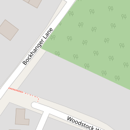
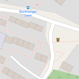
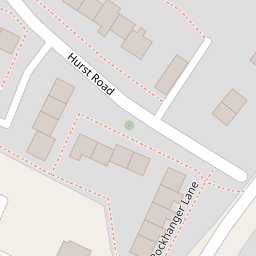
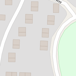
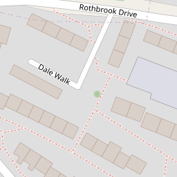
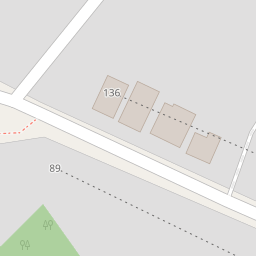
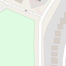

Leaflet © OpenStreetMap contributors
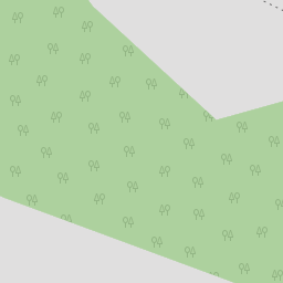
The heatmap indicates the level of crime in the area. The color of the heatmap indicates the crime severity and recency.
Metrics Year-on-Year
- Average area value
- 278,019.00 £Increased by 21.15 %
- Average area rental value
- 919.00 £/moDecreased by 8.01 %
- Est rental Yield
- 3.97 %Decreased by 23.95 %
- Crime Rate
- 11.00 %Unchanged by 0.00 %
from 229,480.00 £
from 999.00 £/mo
from 5.22 %
from 11.00 %
Nearby Schools
| Name | Type | Ofsted | Distance |
|---|---|---|---|
| Phoenix Community Primary School | Foundation School | Good | 0.58 KM |
| Sure Steps Children'S Centre | Children's Centre | 0.58 KM | |
| Goat Lees Primary School | Foundation School | Good | 0.61 KM |
| Towers School And Sixth Form Centre | Academy Converter | Good | 0.91 KM |
| Kennington Church Of England Academy | Academy Sponsor Led | Good | 1.13 KM |
Images
Nearby Streets
| Name | Average Price | Average Sqft | Distance |
|---|---|---|---|
| Rookery Close | £ 325,000 | 0 | 0.00 KM |
| Underwood Close | £ 0 | 0 | 0.00 KM |
| Grosvenor Road | £ 297,500 | 0 | 0.00 KM |
| Walnut Close | £ 300,000 | 0 | 0.00 KM |
| Park Road | £ 525,000 | 0 | 0.00 KM |
Nearby Transport
| Name | NLC | TLC | Distance |
|---|---|---|---|
| Ashford International | 5004 | AFK | 2.75 KM |
| Wye | 5031 | WYE | 5.92 KM |
Nearby Listings
| Address | Price | Type | Score | Distance |
|---|---|---|---|---|
| Larch Walk, Kennington, Ashford TN24 | £ 360,000 | BUY | 6 / 10 | 0.06 KM |
| Larch Walk, Kennington, Ashford TN24 | £ 379,950 | BUY | 6 / 10 | 0.10 KM |
| Grasmere Road, Kennington, Ashford | £ 375,000 | BUY | Unknown | 0.13 KM |
| Grasmere Road, Kennington, TN24 | £ 325,000 | BUY | 6 / 10 | 0.18 KM |
| Larch Walk, Kennington, TN24 | £ 395,000 | BUY | 6 / 10 | 0.19 KM |
Nearby Properties
| Address | Price | Distance |
|---|---|---|
| 8 Woodstock Way | £ 360,000 | 0.00 KM |
| 2 Woodstock Way | £ 250,000 | 0.00 KM |
| 4 Woodstock Way | £ 220,000 | 0.00 KM |
| 5 Bockhanger Lane | £ 250,000 | 0.10 KM |
| 3 Bockhanger Lane | £ 267,000 | 0.10 KM |