UN
Bali Hai
£ 240,000
Description
We don't have a Description for this property.
- Bedrooms
- 4
- Bathrooms
- 0
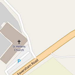
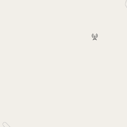

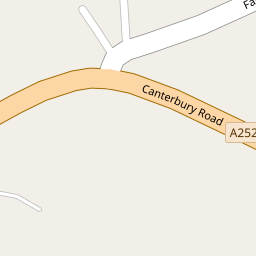
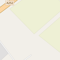


Leaflet © OpenStreetMap contributors
The heatmap indicates the level of crime in the area. The color of the heatmap indicates the crime severity and recency.
Metrics Year-on-Year
- Average area value
- 278,019.00 £Increased by 21.15 %
- Average area rental value
- 919.00 £/moDecreased by 8.01 %
- Est rental Yield
- 3.97 %Decreased by 23.95 %
- Crime Rate
- 0.00 %
from 229,480.00 £
from 999.00 £/mo
from 5.22 %
from 0.00 %
Nearby Schools
| Name | Type | Ofsted | Distance |
|---|---|---|---|
| Charing Church Of England Primary School | Academy Converter | 2.20 KM | |
| Bluebells Children'S Centre | Children's Centre | 5.16 KM | |
| Eastling Primary School | Community School | Good | 6.02 KM |
| Heath Farm School | Other Independent Special School | Good | 6.12 KM |
| Goldwyn School | Foundation Special School | Outstanding | 6.83 KM |
Images
Nearby Streets
| Name | Average Price | Average Sqft | Distance |
|---|---|---|---|
| The Apple Trees | £ 0 | 0 | 0.00 KM |
| The Hill | £ 975,000 | 0 | 0.00 KM |
| Downs Close | £ 0 | 0 | 0.00 KM |
| Westwell Lane | £ 0 | 0 | 0.00 KM |
Nearby Transport
| Name | NLC | TLC | Distance |
|---|---|---|---|
| Charing (Kent) | 5097 | CHG | 2.63 KM |
| Pluckley | 5225 | PLC | 9.90 KM |
Nearby Listings
| Address | Price | Type | Score | Distance |
|---|---|---|---|---|
| Charing Hill, Charing, TN27 | £ 225,000 | BUY | 7 / 10 | 0.04 KM |
| Charing Hill, Charing, Ashford, TN27 | £ 450,000 | BUY | 6 / 10 | 0.17 KM |
| The Apple Trees, Charing | £ 445,000 | BUY | 7 / 10 | 0.35 KM |
| Charing Hill, Charing, Kent | £ 500,000 | BUY | 6 / 10 | 0.37 KM |
| Faversham Road, Charing | £ 700,000 | BUY | Unknown | 0.68 KM |
Nearby Properties
| Address | Price | Distance |
|---|---|---|
| Oak Leaves | £ 640,000 | 0.00 KM |
| Bali Hai | £ 240,000 | 0.00 KM |
| The Courtyard | £ 125,000 | 0.00 KM |
| Balantine House | £ 540,000 | 0.01 KM |
| Timber Lodge | £ 535,000 | 0.46 KM |