UN
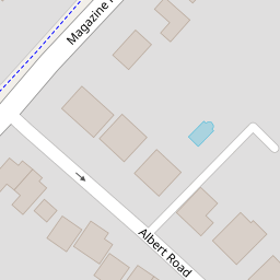
34a Magazine Road
£ 155,000
Description
We don't have a Description for this property.
- Bedrooms
- 2
- Bathrooms
- 0
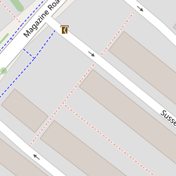

Leaflet © OpenStreetMap contributors
The heatmap indicates the level of crime in the area. The color of the heatmap indicates the crime severity and recency.
Metrics Year-on-Year
- Average area value
- 278,019.00 £Increased by 21.15 %
- Average area rental value
- 919.00 £/moDecreased by 8.01 %
- Est rental Yield
- 3.97 %Decreased by 23.95 %
- Crime Rate
- 6.00 %Unchanged by 0.00 %
from 229,480.00 £
from 999.00 £/mo
from 5.22 %
from 6.00 %
Nearby Schools
| Name | Type | Ofsted | Distance |
|---|---|---|---|
| Ashford, St Mary'S Church Of England Primary School | Voluntary Aided School | Good | 0.43 KM |
| St Teresa'S Catholic Primary School | Academy Converter | Good | 0.47 KM |
| Highworth Grammar School | Academy Converter | Outstanding | 0.53 KM |
| Victoria Road Primary School | Community School | Good | 0.84 KM |
| Ashford School | Other Independent School | 1.14 KM |
Images
Nearby Streets
| Name | Average Price | Average Sqft | Distance |
|---|---|---|---|
| New Street | £ 0 | 0 | 0.00 KM |
| High Street | £ 210,000 | 0 | 0.00 KM |
| West Street | £ 220,000 | 0 | 0.00 KM |
| East Street | £ 230,000 | 0 | 0.00 KM |
| A292 | £ 315,000 | 0 | 0.00 KM |
Nearby Transport
| Name | NLC | TLC | Distance |
|---|---|---|---|
| Ashford International | 5004 | AFK | 1.30 KM |
| Wye | 5031 | WYE | 7.62 KM |
| Ham Street | 5037 | HMT | 9.50 KM |
Nearby Listings
| Address | Price | Type | Score | Distance |
|---|---|---|---|---|
| Magazine Road, Ashford, TN24 8NN | £ 500,000 | BUY | 7 / 10 | 0.01 KM |
| Magazine Road, Ashford, TN24 | £ 200,000 | BUY | 5 / 10 | 0.05 KM |
| Kent Avenue, Ashford | £ 300,000 | BUY | 7 / 10 | 0.10 KM |
| Sussex Avenue, Ashford, Kent, TN24 | £ 290,000 | BUY | 6 / 10 | 0.11 KM |
| Belmore Park, Ashford TN24 | £ 335,000 | BUY | 6 / 10 | 0.12 KM |
Nearby Properties
| Address | Price | Distance |
|---|---|---|
| 34b Magazine Road | £ 84,500 | 0.00 KM |
| 28 Magazine Road | £ 250,000 | 0.00 KM |
| 34a Magazine Road | £ 155,000 | 0.00 KM |
| 32a Magazine Road | £ 120,000 | 0.00 KM |
| 36 Magazine Road | £ 280,000 | 0.00 KM |