UN
3 Covert
£ 249,950
Description
We don't have a Description for this property.
- Bedrooms
- 6
- Bathrooms
- 0
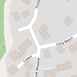
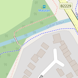
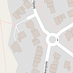
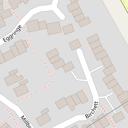

Leaflet © OpenStreetMap contributors
The heatmap indicates the level of crime in the area. The color of the heatmap indicates the crime severity and recency.
Metrics Year-on-Year
- Average area value
- 278,019.00 £Increased by 21.15 %
- Average area rental value
- 919.00 £/moDecreased by 8.01 %
- Est rental Yield
- 3.97 %Decreased by 23.95 %
- Crime Rate
- 4.00 %Unchanged by 0.00 %
from 229,480.00 £
from 999.00 £/mo
from 5.22 %
from 4.00 %
Nearby Schools
| Name | Type | Ofsted | Distance |
|---|---|---|---|
| The Wyvern School (Buxford) | Foundation Special School | Good | 0.39 KM |
| Great Chart Primary School | Community School | Outstanding | 0.95 KM |
| Ashford Oaks Community Primary School | Community School | Good | 1.06 KM |
| Beaver Green Primary School | Academy Sponsor Led | Good | 1.07 KM |
| Godinton Primary School | Academy Converter | Good | 1.08 KM |
Images
Nearby Streets
| Name | Average Price | Average Sqft | Distance |
|---|---|---|---|
| Rowan Close | £ 0 | 0 | 0.00 KM |
| St. Anne's Road | £ 295,000 | 0 | 0.00 KM |
| Great Chart Bypass | £ 0 | 0 | 0.00 KM |
| Summerhill | £ 0 | 0 | 0.00 KM |
| Lilac Court | £ 0 | 0 | 0.00 KM |
Nearby Transport
| Name | NLC | TLC | Distance |
|---|---|---|---|
| Ashford International | 5004 | AFK | 3.18 KM |
| Ham Street | 5037 | HMT | 8.47 KM |
| Charing (Kent) | 5097 | CHG | 9.51 KM |
Nearby Listings
| Address | Price | Type | Score | Distance |
|---|---|---|---|---|
| Postling, Ashford, TN23 | £ 330,000 | BUY | 6 / 10 | 0.14 KM |
| Millbrook Meadow, Singleton, Ashford, TN23 | £ 270,000 | BUY | 6 / 10 | 0.17 KM |
| Eggringe, Singleton, Ashford, TN23 | £ 315,000 | BUY | Unknown | 0.18 KM |
| Huntswood, Ashford, Kent | £ 250,000 | BUY | 6 / 10 | 0.20 KM |
| Lakemead, Ashford, Kent | £ 320,000 | BUY | 7 / 10 | 0.24 KM |
Nearby Properties
| Address | Price | Distance |
|---|---|---|
| 3 Covert | £ 249,950 | 0.00 KM |
| 1 Covert | £ 47,000 | 0.00 KM |
| 2 Covert | £ 209,000 | 0.00 KM |
| 2 Honey Field | £ 255,000 | 0.07 KM |
| 4 Honey Field | £ 172,500 | 0.07 KM |