UN
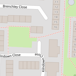
72 Kilndown Close
£ 241,000
Description
We don't have a Description for this property.
- Bedrooms
- 3
- Bathrooms
- 0
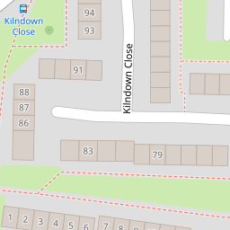
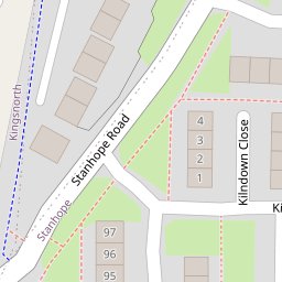

Leaflet © OpenStreetMap contributors
The heatmap indicates the level of crime in the area. The color of the heatmap indicates the crime severity and recency.
Metrics Year-on-Year
- Average area value
- 278,019.00 £Increased by 21.15 %
- Average area rental value
- 919.00 £/moDecreased by 8.01 %
- Est rental Yield
- 3.97 %Decreased by 23.95 %
- Crime Rate
- 18.00 %Unchanged by 0.00 %
from 229,480.00 £
from 999.00 £/mo
from 5.22 %
from 18.00 %
Nearby Schools
| Name | Type | Ofsted | Distance |
|---|---|---|---|
| Beaver Green Primary School | Academy Sponsor Led | Good | 0.38 KM |
| The John Wesley Church Of England Methodist Voluntary Aided Primary School | Voluntary Aided School | Good | 0.92 KM |
| The John Wallis Church Of England Academy | Academy Sponsor Led | Good | 0.94 KM |
| Ray Allen Children'S Centre | Children's Centre | 0.99 KM | |
| Great Chart Primary School | Community School | Outstanding | 1.10 KM |
Images
Nearby Streets
| Name | Average Price | Average Sqft | Distance |
|---|---|---|---|
| Summerhill | £ 0 | 0 | 0.00 KM |
| St. Anne's Road | £ 295,000 | 0 | 0.00 KM |
| Hedgers Way | £ 420,995 | 0 | 0.00 KM |
| Cherry Gardens | £ 400,000 | 0 | 0.00 KM |
| St. Stephen's Walk | £ 375,000 | 0 | 0.00 KM |
Nearby Transport
| Name | NLC | TLC | Distance |
|---|---|---|---|
| Ashford International | 5004 | AFK | 3.37 KM |
| Ham Street | 5037 | HMT | 7.07 KM |
Nearby Listings
| Address | Price | Type | Score | Distance |
|---|---|---|---|---|
| Kilndown Close, Ashford, TN23 | £ 240,000 | BUY | 5 / 10 | 0.01 KM |
| Brenchley Close | £ 280,000 | BUY | 6 / 10 | 0.17 KM |
| Kilndown Close, Stanhope, Ashford, TN23 | £ 155,000 | BUY | 5 / 10 | 0.17 KM |
| Badlesmere Close, Ashford, TN23 | £ 270,000 | BUY | 6 / 10 | 0.18 KM |
| Kilndown Close, Ashford, TN23 | £ 142,000 | BUY | 4 / 10 | 0.18 KM |
Nearby Properties
| Address | Price | Distance |
|---|---|---|
| 63 Kilndown Close | £ 198,000 | 0.00 KM |
| 65 Kilndown Close | £ 135,000 | 0.00 KM |
| 81 Kilndown Close | £ 125,000 | 0.00 KM |
| 80 Kilndown Close | £ 195,000 | 0.00 KM |
| 72 Kilndown Close | £ 241,000 | 0.00 KM |