UN
4 Redyear Court
£ 142,500
Description
We don't have a Description for this property.
- Bedrooms
- 2
- Bathrooms
- 0
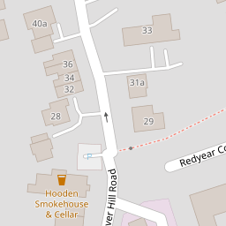
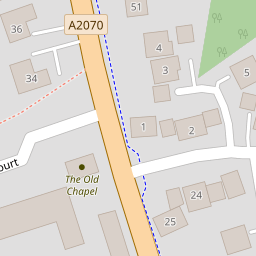
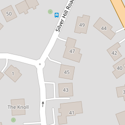
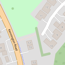

Leaflet © OpenStreetMap contributors
The heatmap indicates the level of crime in the area. The color of the heatmap indicates the crime severity and recency.
Metrics Year-on-Year
- Average area value
- 257,097.00 £Decreased by 8.25 %
- Average area rental value
- 956.00 £/moIncreased by 1.92 %
- Est rental Yield
- 4.46 %Increased by 10.95 %
- Crime Rate
- 13.00 %Unchanged by 0.00 %
from 280,201.00 £
from 938.00 £/mo
from 4.02 %
from 13.00 %
Nearby Schools
| Name | Type | Ofsted | Distance |
|---|---|---|---|
| Willesborough Infant School | Foundation School | Good | 0.65 KM |
| Willesborough Junior School | Foundation School | Good | 0.77 KM |
| The Norton Knatchbull School | Academy Converter | Good | 1.77 KM |
| Cornfields School | Other Independent Special School | Good | 1.97 KM |
| The North School | Academy Converter | 2.27 KM |
Images
Nearby Streets
| Name | Average Price | Average Sqft | Distance |
|---|---|---|---|
| M20 | £ 0 | 0 | 0.00 KM |
| Trechard Close | £ 0 | 0 | 0.00 KM |
| Stitchworth Lane | £ 0 | 0 | 0.00 KM |
| Foxglove Road | £ 0 | 0 | 0.00 KM |
| Honeysuckle Avenue | £ 482,399 | 0 | 0.00 KM |
Nearby Transport
| Name | NLC | TLC | Distance |
|---|---|---|---|
| Ashford International | 5004 | AFK | 3.34 KM |
| Wye | 5031 | WYE | 5.21 KM |
Nearby Listings
| Address | Price | Type | Score | Distance |
|---|---|---|---|---|
| Silver Hill Road, Willesborough, TN24 | £ 200,000 | BUY | 4 / 10 | 0.09 KM |
| Silver Hill Road, Willesborough, Ashford, Kent, TN24 | £ 325,000 | BUY | 7 / 10 | 0.11 KM |
| Silver Hill Road, Willesborough | £ 315,000 | BUY | 7 / 10 | 0.17 KM |
| Queens Court, Ashford TN24 | £ 185,000 | BUY | 6 / 10 | 0.18 KM |
| Lees Road, Willesborough, Ashford | £ 300,000 | BUY | 7 / 10 | 0.25 KM |
Nearby Properties
| Address | Price | Distance |
|---|---|---|
| 12 Redyear Court | £ 129,995 | 0.00 KM |
| 3 Redyear Court | £ 132,000 | 0.00 KM |
| 4 Redyear Court | £ 142,500 | 0.00 KM |
| 8 Redyear Court | £ 175,000 | 0.00 KM |
| 14 Redyear Court | £ 117,500 | 0.00 KM |