UN
3 The Ridings
£ 375,000
Description
We don't have a Description for this property.
- Bedrooms
- 3
- Bathrooms
- 0
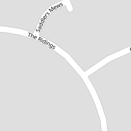
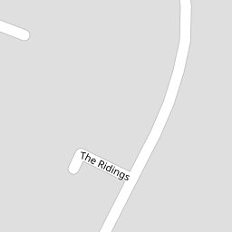

Leaflet © OpenStreetMap contributors
The heatmap indicates the level of crime in the area. The color of the heatmap indicates the crime severity and recency.
Metrics Year-on-Year
- Average area value
- 510,340.00 £Decreased by 3.71 %
- Average area rental value
- 1,588.00 £/moIncreased by 28.17 %
- Est rental Yield
- 3.73 %Increased by 32.74 %
- Crime Rate
- 9.00 %Unchanged by 0.00 %
from 529,979.00 £
from 1,239.00 £/mo
from 2.81 %
from 9.00 %
Nearby Schools
| Name | Type | Ofsted | Distance |
|---|---|---|---|
| Swalecliffe Community Primary School | Foundation School | Good | 1.41 KM |
| Swalecliffe Children'S Centre | Children's Centre Linked Site | 1.41 KM | |
| Briary Children'S Centre | Children's Centre Linked Site | 3.23 KM | |
| Briary Primary School | Academy Converter | 3.55 KM | |
| St Mary'S Catholic Primary School, Whitstable | Academy Converter | Good | 3.57 KM |
Images
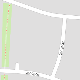
Nearby Streets
| Name | Average Price | Average Sqft | Distance |
|---|---|---|---|
| Saddlers Mews | £ 0 | 0 | 0.00 KM |
| Barley Drive | £ 0 | 0 | 0.00 KM |
| Seaview Holiday Park | £ 390,000 | 0 | 0.00 KM |
| Harvey Drive | £ 450,000 | 0 | 0.00 KM |
| Nasella Gardens | £ 0 | 0 | 0.00 KM |
Nearby Transport
| Name | NLC | TLC | Distance |
|---|---|---|---|
| Chestfield And Swalecliffe | 5200 | CSW | 0.60 KM |
| Whitstable | 5196 | WHI | 4.08 KM |
| Herne Bay | 5174 | HNB | 5.35 KM |
| Canterbury West | 5007 | CBW | 7.99 KM |
| Sturry | 5029 | STU | 8.39 KM |
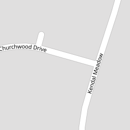
Nearby Listings
| Address | Price | Type | Score | Distance |
|---|---|---|---|---|
| Saddlers Mews, Chestfield, Whitstable | £ 650,000 | BUY | 7 / 10 | 0.05 KM |
| Longacre, Chestfield, Whitstable | £ 600,000 | BUY | 7 / 10 | 0.13 KM |
| Churchwood Drive, Chestfield, Whitstable, CT5 | £ 665,000 | BUY | 7 / 10 | 0.14 KM |
| Churchwood Drive, Chestfield, Whitstable | £ 735,000 | BUY | Unknown | 0.14 KM |
| Longacre, Chestfield, Whitstable | £ 850,000 | BUY | 7 / 10 | 0.21 KM |
Nearby Properties
| Address | Price | Distance |
|---|---|---|
| 17 The Ridings | £ 343,500 | 0.00 KM |
| 7 The Ridings | £ 535,000 | 0.00 KM |
| 3 The Ridings | £ 375,000 | 0.00 KM |
| 23 The Ridings | £ 390,000 | 0.00 KM |
| 12 The Ridings | £ 600,000 | 0.00 KM |