UN
4 The Fairway
£ 356,500
Description
We don't have a Description for this property.
- Bedrooms
- 4
- Bathrooms
- 0
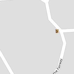

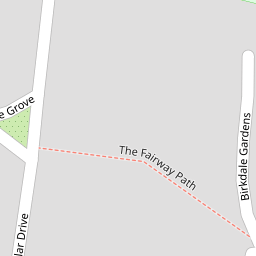
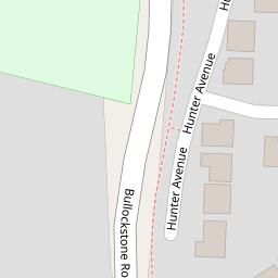

Leaflet © OpenStreetMap contributors
The heatmap indicates the level of crime in the area. The color of the heatmap indicates the crime severity and recency.
Metrics Year-on-Year
- Average area value
- 381,799.00 £Decreased by 2.78 %
- Average area rental value
- 1,864.00 £/moIncreased by 5.07 %
- Est rental Yield
- 5.86 %Increased by 8.12 %
- Crime Rate
- 6.00 %Unchanged by 0.00 %
from 392,701.00 £
from 1,774.00 £/mo
from 5.42 %
from 6.00 %
Nearby Schools
| Name | Type | Ofsted | Distance |
|---|---|---|---|
| Herne Bay High School | Academy Converter | Good | 0.55 KM |
| Briary Primary School | Academy Converter | 1.06 KM | |
| Hampton Primary School | Academy Converter | Good | 1.23 KM |
| Briary Children'S Centre | Children's Centre Linked Site | 1.37 KM | |
| Fairlight Glen Independent Special School | Other Independent Special School | Good | 1.48 KM |
Images
Nearby Streets
| Name | Average Price | Average Sqft | Distance |
|---|---|---|---|
| Wentworth Gardens | £ 525,000 | 0 | 0.00 KM |
| Hunter Avenue | £ 625,000 | 0 | 0.00 KM |
| Lovell Close | £ 0 | 0 | 0.00 KM |
| Green Lane | £ 0 | 0 | 0.00 KM |
| Ambrose Avenue | £ 363,167 | 0 | 0.00 KM |
Nearby Transport
| Name | NLC | TLC | Distance |
|---|---|---|---|
| Herne Bay | 5174 | HNB | 1.10 KM |
| Chestfield And Swalecliffe | 5200 | CSW | 4.97 KM |
| Sturry | 5029 | STU | 6.30 KM |
| Whitstable | 5196 | WHI | 8.67 KM |
| Canterbury West | 5007 | CBW | 9.02 KM |
Nearby Listings
| Address | Price | Type | Score | Distance |
|---|---|---|---|---|
| The Fairway, Herne Bay, Kent | £ 515,000 | BUY | Unknown | 0.01 KM |
| Land at The Fairway, Herne Bay, Kent, CT6 7TW | £ 2,000 | BUY | 4 / 10 | 0.05 KM |
| Land at The Fairway, Herne Bay, Kent, CT6 7TW | £ 2,000 | BUY | 7 / 10 | 0.05 KM |
| The Fairway, Herne Bay, CT6 | £ 750,000 | BUY | 7 / 10 | 0.08 KM |
| Wentworth Gardens, HERNE BAY , CT6 | £ 525,000 | BUY | 6 / 10 | 0.11 KM |
Nearby Properties
| Address | Price | Distance |
|---|---|---|
| 5 Bullockstone Road | £ 305,000 | 0.00 KM |
| 4 The Fairway | £ 356,500 | 0.00 KM |
| 31 The Fairway | £ 288,000 | 0.00 KM |
| 25 The Fairway | £ 360,000 | 0.00 KM |
| 1 The Fairway | £ 292,500 | 0.00 KM |