UN
3 Bluefield Mews
£ 124,500
Description
We don't have a Description for this property.
- Bedrooms
- 2
- Bathrooms
- 0
- Furnished
- true
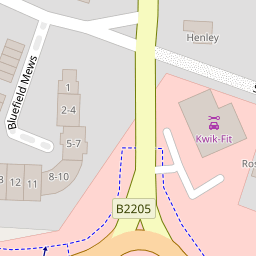
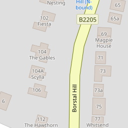

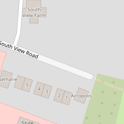
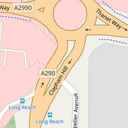


Leaflet © OpenStreetMap contributors
The heatmap indicates the level of crime in the area. The color of the heatmap indicates the crime severity and recency.
Metrics Year-on-Year
- Average area value
- 970,000.00 £Increased by 100.79 %
- Average area rental value
- 1,600.00 £/moDecreased by 26.03 %
- Est rental Yield
- 1.98 %Decreased by 63.13 %
- Crime Rate
- 11.00 %Unchanged by 0.00 %
from 483,087.00 £
from 2,163.00 £/mo
from 5.37 %
from 11.00 %
Nearby Schools
| Name | Type | Ofsted | Distance |
|---|---|---|---|
| Joy Lane Primary Foundation School | Foundation School | Good | 0.97 KM |
| Joy Lane Children'S Centre | Children's Centre | 0.99 KM | |
| Whitstable Junior School | Foundation School | Good | 1.61 KM |
| St Alphege Church Of England Infant School | Voluntary Controlled School | Good | 1.64 KM |
| Whitstable And Seasalter Endowed Church Of England Junior School | Voluntary Aided School | Outstanding | 1.89 KM |
Images
Nearby Streets
| Name | Average Price | Average Sqft | Distance |
|---|---|---|---|
| Ivydene Avenue | £ 0 | 0 | 0.00 KM |
| The Heights | £ 350,000 | 0 | 0.00 KM |
| Millers Court | £ 0 | 0 | 0.00 KM |
| Hilltop | £ 575,000 | 0 | 0.00 KM |
| Tollgate Close | £ 0 | 0 | 0.00 KM |
Nearby Transport
| Name | NLC | TLC | Distance |
|---|---|---|---|
| Whitstable | 5196 | WHI | 2.22 KM |
| Chestfield And Swalecliffe | 5200 | CSW | 5.50 KM |
| Canterbury West | 5007 | CBW | 8.82 KM |
| Chartham | 5008 | CRT | 9.44 KM |
| Canterbury East | 5164 | CBE | 9.71 KM |
Nearby Listings
| Address | Price | Type | Score | Distance |
|---|---|---|---|---|
| Bluefield Mews, Whitstable | £ 259,950 | BUY | 5 / 10 | 0.01 KM |
| Old Farm Close, Whitstable | £ 339,950 | BUY | 6 / 10 | 0.09 KM |
| Old Farm Close, Whitstable, Kent | £ 350,000 | BUY | 5 / 10 | 0.12 KM |
| Borstal Hill, Whitstable, CT5 | £ 875,000 | BUY | 8 / 10 | 0.17 KM |
| Wraik Hill, Whitstable | £ 169,950 | BUY | 6 / 10 | 0.22 KM |
Nearby Properties
| Address | Price | Distance |
|---|---|---|
| 1 Bluefield Mews | £ 195,000 | 0.00 KM |
| 10 Bluefield Mews | £ 300,000 | 0.00 KM |
| 3 Bluefield Mews | £ 124,500 | 0.00 KM |
| 9 Bluefield Mews | £ 325,000 | 0.00 KM |
| 13 Bluefield Mews | £ 320,000 | 0.00 KM |