UN
138 Joy Lane
£ 380,000
Description
We don't have a Description for this property.
- Bedrooms
- 3
- Bathrooms
- 0

Leaflet © OpenStreetMap contributors
The heatmap indicates the level of crime in the area. The color of the heatmap indicates the crime severity and recency.
Metrics Year-on-Year
- Average area value
- 355,329.00 £Decreased by 12.56 %
- Average area rental value
- 1,374.00 £/moIncreased by 19.48 %
- Est rental Yield
- 4.64 %Increased by 36.47 %
- Crime Rate
- 13.00 %Unchanged by 0.00 %
from 406,350.00 £
from 1,150.00 £/mo
from 3.40 %
from 13.00 %
Nearby Schools
| Name | Type | Ofsted | Distance |
|---|---|---|---|
| Joy Lane Primary Foundation School | Foundation School | Good | 1.30 KM |
| Joy Lane Children'S Centre | Children's Centre | 1.39 KM | |
| St Alphege Church Of England Infant School | Voluntary Controlled School | Good | 2.41 KM |
| Whitstable Junior School | Foundation School | Good | 2.44 KM |
| Whitstable And Seasalter Endowed Church Of England Junior School | Voluntary Aided School | Outstanding | 2.64 KM |
Images
Nearby Streets
| Name | Average Price | Average Sqft | Distance |
|---|---|---|---|
| Sunray Avenue (CW75) | £ 300,000 | 0 | 0.00 KM |
| Freeman's Close | £ 0 | 0 | 0.00 KM |
| Church Court | £ 740,000 | 0 | 0.00 KM |
| Applegarth Park | £ 153,408 | 0 | 0.00 KM |
| The Heights | £ 350,000 | 0 | 0.00 KM |
Nearby Transport
| Name | NLC | TLC | Distance |
|---|---|---|---|
| Whitstable | 5196 | WHI | 3.37 KM |
| Chestfield And Swalecliffe | 5200 | CSW | 7.04 KM |
Nearby Listings
| Address | Price | Type | Score | Distance |
|---|---|---|---|---|
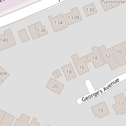
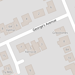
| Georges Avenue, Whitstable | £ 450,000 | BUY | 6 / 10 | 0.07 KM |
| Joy Lane, Whitstable | £ 650,000 | BUY | 6 / 10 | 0.09 KM |
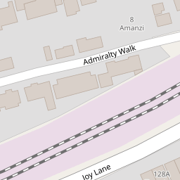
| Admiralty Walk, Whitstable, CT5 | £ 2,950,000 | BUY | 9 / 10 | 0.12 KM |
| Admiralty Walk, Whitstable, CT5 | £ 960,000 | BUY | 7 / 10 | 0.12 KM |
| Joy Lane, Whitstable | £ 925,000 | BUY | 8 / 10 | 0.14 KM |
Nearby Properties
| Address | Price | Distance |
|---|---|---|
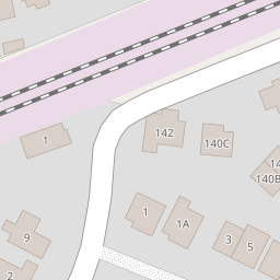
| 122 Joy Lane | £ 340,000 | 0.00 KM |
| 138 Joy Lane | £ 380,000 | 0.00 KM |
| 136 Joy Lane | £ 299,950 | 0.02 KM |
| 126b Joy Lane | £ 490,000 | 0.02 KM |
| 128b Joy Lane | £ 200,000 | 0.02 KM |