UN
1 Kemp Road
£ 72,000
Description
We don't have a Description for this property.
- Bedrooms
- 0
- Bathrooms
- 0
- Furnished
- true
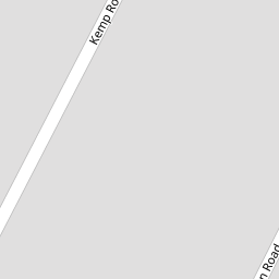
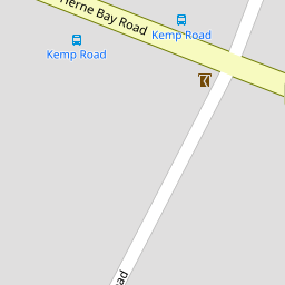

Leaflet © OpenStreetMap contributors
The heatmap indicates the level of crime in the area. The color of the heatmap indicates the crime severity and recency.
Metrics Year-on-Year
- Average area value
- 262,768.00 £Increased by 11.50 %
- Average area rental value
- 1,117.00 £/moIncreased by 4.78 %
- Est rental Yield
- 5.10 %Decreased by 6.08 %
- Crime Rate
- 8.00 %Unchanged by 0.00 %
from 235,661.00 £
from 1,066.00 £/mo
from 5.43 %
from 8.00 %
Nearby Schools
| Name | Type | Ofsted | Distance |
|---|---|---|---|
| Swalecliffe Children'S Centre | Children's Centre Linked Site | 0.18 KM | |
| Swalecliffe Community Primary School | Foundation School | Good | 0.26 KM |
| St Mary'S Catholic Primary School, Whitstable | Academy Converter | Good | 2.47 KM |
| The Whitstable School | Academy Converter | 2.77 KM | |
| Westmeads Community Infant School | Community School | Outstanding | 3.44 KM |
Images
Nearby Streets
| Name | Average Price | Average Sqft | Distance |
|---|---|---|---|
| Newton Road | £ 499,950 | 0 | 0.00 KM |
| Harvey Drive | £ 450,000 | 0 | 0.00 KM |
| Barley Drive | £ 0 | 0 | 0.00 KM |
| Darnel Avenue | £ 0 | 0 | 0.00 KM |
| The Crescent | £ 495,000 | 0 | 0.00 KM |
Nearby Transport
| Name | NLC | TLC | Distance |
|---|---|---|---|
| Chestfield And Swalecliffe | 5200 | CSW | 0.72 KM |
| Whitstable | 5196 | WHI | 3.06 KM |
| Herne Bay | 5174 | HNB | 6.32 KM |
| Canterbury West | 5007 | CBW | 8.80 KM |
| Sturry | 5029 | STU | 9.61 KM |
Nearby Listings
| Address | Price | Type | Score | Distance |
|---|---|---|---|---|
| Kemp Road, Tankerton, Whitstable | £ 525,000 | BUY | 7 / 10 | 0.03 KM |
| Kemp Road, Tankerton, Whitstable | £ 449,950 | BUY | 7 / 10 | 0.13 KM |
| Herne Bay Road, Whitstable | £ 499,995 | BUY | 7 / 10 | 0.15 KM |
| Herne Bay Road, Whitstable | £ 525,000 | BUY | 6 / 10 | 0.15 KM |
| Burnan Road, Burnan Court Burnan Road, CT5 | £ 285,000 | BUY | Unknown | 0.17 KM |
Nearby Properties
| Address | Price | Distance |
|---|---|---|
| 2 Kemp Road | £ 108,000 | 0.00 KM |
| 1 Kemp Road | £ 72,000 | 0.00 KM |
| 17 Kemp Road | £ 269,950 | 0.00 KM |
| 4 Kemp Road | £ 369,995 | 0.00 KM |
| 13 Kemp Road | £ 68,500 | 0.00 KM |