UN
3 Plough Lane
£ 229,995
Description
We don't have a Description for this property.
- Bedrooms
- 5
- Bathrooms
- 0
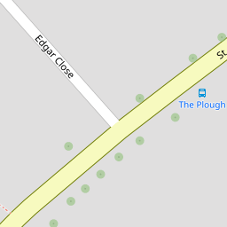
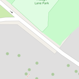
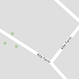

Leaflet © OpenStreetMap contributors
The heatmap indicates the level of crime in the area. The color of the heatmap indicates the crime severity and recency.
Metrics Year-on-Year
- Average area value
- 262,768.00 £Increased by 11.50 %
- Average area rental value
- 1,117.00 £/moIncreased by 4.78 %
- Est rental Yield
- 5.10 %Decreased by 6.08 %
- Crime Rate
- 30.00 %Unchanged by 0.00 %
from 235,661.00 £
from 1,066.00 £/mo
from 5.43 %
from 30.00 %
Nearby Schools
| Name | Type | Ofsted | Distance |
|---|---|---|---|
| Swalecliffe Children'S Centre | Children's Centre Linked Site | 1.31 KM | |
| Swalecliffe Community Primary School | Foundation School | Good | 1.39 KM |
| Briary Children'S Centre | Children's Centre Linked Site | 3.30 KM | |
| St Mary'S Catholic Primary School, Whitstable | Academy Converter | Good | 3.58 KM |
| Briary Primary School | Academy Converter | 3.60 KM |
Images
Nearby Streets
| Name | Average Price | Average Sqft | Distance |
|---|---|---|---|
| Seaview Holiday Park | £ 390,000 | 0 | 0.00 KM |
| Saddlers Mews | £ 0 | 0 | 0.00 KM |
| Newton Road | £ 499,950 | 0 | 0.00 KM |
| Palace Close | £ 0 | 0 | 0.00 KM |
| Harvey Drive | £ 450,000 | 0 | 0.00 KM |
Nearby Transport
| Name | NLC | TLC | Distance |
|---|---|---|---|
| Chestfield And Swalecliffe | 5200 | CSW | 0.65 KM |
| Whitstable | 5196 | WHI | 4.19 KM |
| Herne Bay | 5174 | HNB | 5.22 KM |
| Canterbury West | 5007 | CBW | 8.98 KM |
| Sturry | 5029 | STU | 9.12 KM |
Nearby Listings
| Address | Price | Type | Score | Distance |
|---|---|---|---|---|
| Kite Farm, Swalecliffe, Whitstable | £ 245,000 | BUY | 7 / 10 | 0.09 KM |
| Kite Farm, Swalecliffe, Whitstable | £ 200,000 | BUY | 5 / 10 | 0.11 KM |
| St. Johns Road, Whitstable | £ 300,000 | BUY | 7 / 10 | 0.16 KM |
| St. Johns Road, Swalecliffe, Whitstable | £ 195,000 | BUY | 5 / 10 | 0.17 KM |
| St Johns Road, Whitstable , Kent | £ 110,000 | BUY | Unknown | 0.19 KM |
Nearby Properties
| Address | Price | Distance |
|---|---|---|
| 3 Plough Lane | £ 229,995 | 0.00 KM |
| 5 Plough Lane | £ 347,000 | 0.00 KM |
| 23 Plough Lane | £ 265,000 | 0.00 KM |
| 22 Plough Lane | £ 282,000 | 0.00 KM |
| 29 Plough Lane | £ 275,000 | 0.00 KM |