UN
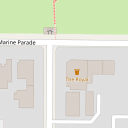
66 Marine Parade
£ 541,000
Description
We don't have a Description for this property.
- Bedrooms
- 3
- Bathrooms
- 0

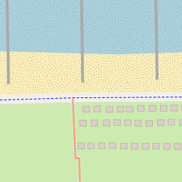
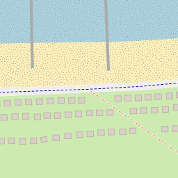

Leaflet © OpenStreetMap contributors
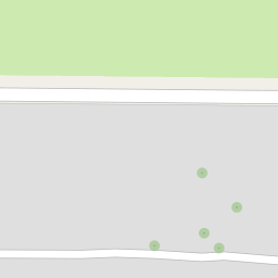
The heatmap indicates the level of crime in the area. The color of the heatmap indicates the crime severity and recency.
Metrics Year-on-Year
- Average area value
- 975,000.00 £Increased by 29.96 %
- Average area rental value
- 1,098.00 £/moDecreased by 33.70 %
- Est rental Yield
- 1.35 %Decreased by 49.06 %
- Crime Rate
- 15.00 %Unchanged by 0.00 %
from 750,202.00 £
from 1,656.00 £/mo
from 2.65 %
from 15.00 %
Nearby Schools
| Name | Type | Ofsted | Distance |
|---|---|---|---|
| Swalecliffe Community Primary School | Foundation School | Good | 0.94 KM |
| Swalecliffe Children'S Centre | Children's Centre Linked Site | 0.95 KM | |
| St Mary'S Catholic Primary School, Whitstable | Academy Converter | Good | 1.42 KM |
| The Whitstable School | Academy Converter | 2.03 KM | |
| Westmeads Community Infant School | Community School | Outstanding | 2.39 KM |
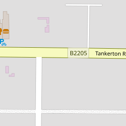
Images
Nearby Streets
| Name | Average Price | Average Sqft | Distance |
|---|---|---|---|
| Newton Road | £ 499,950 | 0 | 0.00 KM |
| Palace Close | £ 0 | 0 | 0.00 KM |
| Harvey Drive | £ 450,000 | 0 | 0.00 KM |
| Nursery Close | £ 0 | 0 | 0.00 KM |
| Darnel Avenue | £ 0 | 0 | 0.00 KM |
Nearby Transport
| Name | NLC | TLC | Distance |
|---|---|---|---|
| Chestfield And Swalecliffe | 5200 | CSW | 1.85 KM |
| Whitstable | 5196 | WHI | 2.07 KM |
| Herne Bay | 5174 | HNB | 7.41 KM |
| Canterbury West | 5007 | CBW | 9.32 KM |
Nearby Listings
| Address | Price | Type | Score | Distance |
|---|---|---|---|---|
| Marine Parade, Whitstable | £ 1,750,000 | BUY | 8 / 10 | 0.04 KM |
| Tankerton Road, Whitstable | £ 325,000 | BUY | 6 / 10 | 0.10 KM |
| Pier Avenue, Tankerton, Whitstable | £ 1,100,000 | BUY | 8 / 10 | 0.10 KM |
| Hut 93, Tankerton East, Whitstable | £ 59,950 | BUY | Unknown | 0.12 KM |
| Pier Avenue, Tankerton, Whitstable | £ 259,950 | BUY | 6 / 10 | 0.14 KM |
Nearby Properties
| Address | Price | Distance |
|---|---|---|
| 66 Marine Parade | £ 541,000 | 0.00 KM |
| 72 Marine Parade | £ 550,000 | 0.00 KM |
| 218 Tankerton Road | £ 453,000 | 0.07 KM |
| 199 Tankerton Road | £ 413,000 | 0.07 KM |
| 215 Tankerton Road | £ 332,000 | 0.07 KM |