UN
25 Hawks Lane
£ 485,000
Description
We don't have a Description for this property.
- Bedrooms
- 3
- Bathrooms
- 0

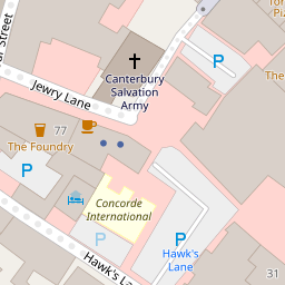


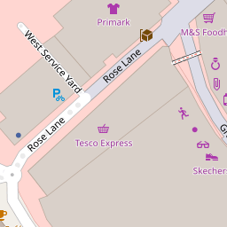

Leaflet © OpenStreetMap contributors
The heatmap indicates the level of crime in the area. The color of the heatmap indicates the crime severity and recency.
Metrics Year-on-Year
- Average area value
- 258,798.00 £Decreased by 0.12 %
- Average area rental value
- 1,121.00 £/moDecreased by 6.97 %
- Est rental Yield
- 5.20 %Decreased by 6.81 %
- Crime Rate
- 20.00 %Unchanged by 0.00 %
from 259,119.00 £
from 1,205.00 £/mo
from 5.58 %
from 20.00 %
Nearby Schools
| Name | Type | Ofsted | Distance |
|---|---|---|---|
| St Peter'S Methodist Primary School | Voluntary Controlled School | Good | 0.26 KM |
| The King'S School Canterbury | Other Independent School | 0.72 KM | |
| St Johns Church Of England Primary School | Voluntary Controlled School | Good | 0.78 KM |
| St Nicholas' School | Community Special School | Good | 0.90 KM |
| Bemix | Special Post 16 Institution | Requires improvement | 0.91 KM |
Images
Nearby Streets
| Name | Average Price | Average Sqft | Distance |
|---|---|---|---|
| St. Peter's Street | £ 499,950 | 0 | 0.00 KM |
| Greyfriars Lane | £ 600,000 | 0 | 0.00 KM |
| City Wall | £ 0 | 0 | 0.00 KM |
| St George's Lane | £ 165,000 | 0 | 0.00 KM |
| St. John's Court | £ 0 | 0 | 0.00 KM |
Nearby Transport
| Name | NLC | TLC | Distance |
|---|---|---|---|
| Canterbury East | 5164 | CBE | 0.52 KM |
| Canterbury West | 5007 | CBW | 0.76 KM |
| Sturry | 5029 | STU | 5.47 KM |
| Bekesbourne | 5198 | BKS | 6.71 KM |
| Chartham | 5008 | CRT | 7.08 KM |
Nearby Listings
| Address | Price | Type | Score | Distance |
|---|---|---|---|---|
| Hawks Lane, Canterbury, Kent | £ 400,000 | BUY | 5 / 10 | 0.03 KM |
| Hawks Lane, Canterbury, Kent | £ 350,000 | BUY | 7 / 10 | 0.04 KM |
| St. James House, Castle Street, Canterbury, Kent, CT1 2QD | £ 240,000 | BUY | 6 / 10 | 0.11 KM |
| 77-79 Castle Street, Canterbury, CT1 | £ 300,000 | BUY | Unknown | 0.12 KM |
| Castle Street, Canterbury | £ 239,000 | BUY | 7 / 10 | 0.12 KM |
Nearby Properties
| Address | Price | Distance |
|---|---|---|
| 9a Hawks Lane | £ 320,000 | 0.00 KM |
| 11 Hawks Lane | £ 145,000 | 0.00 KM |
| 24 Hawks Lane | £ 128,500 | 0.00 KM |
| 25 Hawks Lane | £ 485,000 | 0.00 KM |
| 12 Hawks Lane | £ 160,000 | 0.03 KM |