UN
19 Athelstan Road
£ 130,000
Description
We don't have a Description for this property.
- Bedrooms
- 2
- Bathrooms
- 0
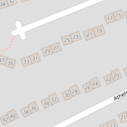
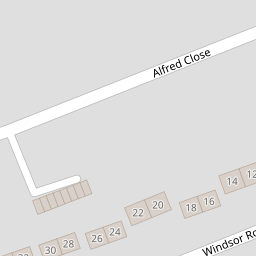
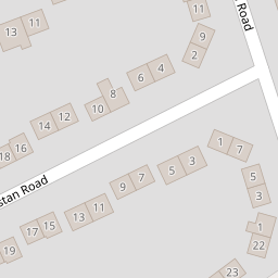

Leaflet © OpenStreetMap contributors
The heatmap indicates the level of crime in the area. The color of the heatmap indicates the crime severity and recency.
Metrics Year-on-Year
- Average area value
- 524,167.00 £Increased by 32.74 %
- Average area rental value
- 1,420.00 £/moIncreased by 24.02 %
- Est rental Yield
- 3.25 %Decreased by 6.61 %
- Crime Rate
- 58.00 %Unchanged by 0.00 %
from 394,872.00 £
from 1,145.00 £/mo
from 3.48 %
from 58.00 %
Nearby Schools
| Name | Type | Ofsted | Distance |
|---|---|---|---|
| The Canterbury Primary School | Academy Converter | Good | 1.18 KM |
| The Canterbury Academy | Academy Converter | Good | 1.42 KM |
| Wincheap Foundation Primary School | Foundation School | Good | 1.46 KM |
| Little Hands Children'S Centre | Children's Centre | 1.46 KM | |
| Kent College Nursery, Infant And Junior School | Other Independent School | 2.14 KM |
Images
Nearby Streets
| Name | Average Price | Average Sqft | Distance |
|---|---|---|---|
| Stranger's Close | £ 230,000 | 0 | 0.00 KM |
| Cherry Court | £ 0 | 0 | 0.00 KM |
| Ledger Way | £ 117,000 | 0 | 0.00 KM |
| The Close | £ 514,333 | 0 | 0.00 KM |
| Miles Way | £ 103,063 | 0 | 0.00 KM |
Nearby Transport
| Name | NLC | TLC | Distance |
|---|---|---|---|
| Canterbury East | 5164 | CBE | 2.24 KM |
| Canterbury West | 5007 | CBW | 2.77 KM |
| Chartham | 5008 | CRT | 4.45 KM |
| Sturry | 5029 | STU | 8.14 KM |
| Bekesbourne | 5198 | BKS | 8.85 KM |
Nearby Listings
| Address | Price | Type | Score | Distance |
|---|---|---|---|---|
| Athelstan Road, Canterbury, Kent | £ 280,000 | BUY | 7 / 10 | 0.01 KM |
| Windsor Road, Canterbury | £ 275,000 | BUY | 7 / 10 | 0.09 KM |
| Broadbank Way, Canterbury, Kent, CT1 | £ 400,000 | BUY | 7 / 10 | 0.19 KM |
| Godwin Road, Canterbury | £ 289,995 | BUY | 7 / 10 | 0.21 KM |
| Strangers Close, Canterbury, CT1 | £ 300,000 | BUY | 6 / 10 | 0.21 KM |
Nearby Properties
| Address | Price | Distance |
|---|---|---|
| 37 Athelstan Road | £ 290,000 | 0.00 KM |
| 1 Athelstan Road | £ 145,000 | 0.00 KM |
| 19 Athelstan Road | £ 130,000 | 0.00 KM |
| 34 Windsor Road | £ 139,950 | 0.08 KM |
| 1 Alfred Close | £ 136,000 | 0.14 KM |