UN
18 Craylands Lane
£ 80,000
Description
We don't have a Description for this property.
- Bedrooms
- 2
- Bathrooms
- 0
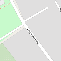


Leaflet © OpenStreetMap contributors
The heatmap indicates the level of crime in the area. The color of the heatmap indicates the crime severity and recency.
Metrics Year-on-Year
- Average area value
- 680,617.00 £Decreased by 16.07 %
- Average area rental value
- 1,914.00 £/moIncreased by 14.68 %
- Est rental Yield
- 3.37 %Increased by 36.44 %
- Crime Rate
- 30.00 %Unchanged by 0.00 %
from 810,933.00 £
from 1,669.00 £/mo
from 2.47 %
from 30.00 %
Nearby Schools
| Name | Type | Ofsted | Distance |
|---|---|---|---|
| The Craylands School | Community School | Good | 0.00 KM |
| Manor Community Primary School | Academy Converter | Good | 1.01 KM |
| Swanscombe Children'S Centre | Children's Centre | 1.01 KM | |
| Cherry Orchard Primary Academy | Academy Sponsor Led | 1.26 KM | |
| Knockhall Children'S Centre | Children's Centre | 1.26 KM |
Images
Nearby Streets
| Name | Average Price | Average Sqft | Distance |
|---|---|---|---|
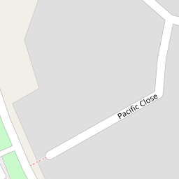
| Pacific Close | £ 0 | 0 | 0.00 KM |
| Lewis Road | £ 0 | 0 | 0.00 KM |
| DS8 | £ 0 | 0 | 0.00 KM |
| Park Road | £ 0 | 0 | 0.00 KM |
| Aspdin House | £ 0 | 0 | 0.00 KM |
Nearby Transport
| Name | NLC | TLC | Distance |
|---|---|---|---|
| Swanscombe | 5156 | SWM | 0.91 KM |
| Ebbsfleet International | 5566 | EBD | 2.15 KM |
| Greenhithe For Bluewater | 5138 | GNH | 2.41 KM |
| Northfleet | 5120 | NFL | 2.50 KM |
| Grays | 7443 | GRY | 3.98 KM |
Nearby Listings
| Address | Price | Type | Score | Distance |
|---|---|---|---|---|
| Craylands Lane, Swanscombe, Kent, DA10 | £ 240,000 | BUY | Unknown | 0.03 KM |
| Craylands Lane, Swanscombe, DA10 | £ 250,000 | BUY | Unknown | 0.03 KM |
| Mayfields, Swanscombe, Kent, DA10 | £ 280,000 | BUY | 7 / 10 | 0.07 KM |
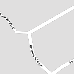
| Broomfield Road, Swanscombe, DA10 | £ 375,000 | BUY | 7 / 10 | 0.09 KM |
| Milton Street, Swanscombe, Kent, DA10 | £ 325,000 | BUY | 7 / 10 | 0.12 KM |
Nearby Properties
| Address | Price | Distance |
|---|---|---|
| 18 Craylands Lane | £ 80,000 | 0.00 KM |
| 17 Craylands Lane | £ 119,999 | 0.00 KM |
| 21 Craylands Lane | £ 157,000 | 0.00 KM |
| 27 Craylands Lane | £ 54,000 | 0.02 KM |
| 22 Craylands Lane | £ 265,000 | 0.02 KM |