UN
9 Munford Drive
£ 315,000
Description
We don't have a Description for this property.
- Bedrooms
- 3
- Bathrooms
- 0
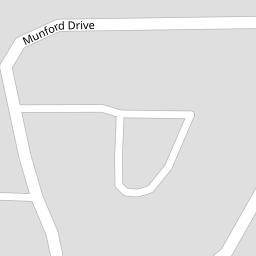

Leaflet © OpenStreetMap contributors
The heatmap indicates the level of crime in the area. The color of the heatmap indicates the crime severity and recency.
Metrics Year-on-Year
- Average area value
- 869,722.00 £Increased by 64.54 %
- Average area rental value
- 1,599.00 £/moDecreased by 40.13 %
- Est rental Yield
- 2.21 %Decreased by 63.53 %
- Crime Rate
- 27.00 %Unchanged by 0.00 %
from 528,583.00 £
from 2,671.00 £/mo
from 6.06 %
from 27.00 %
Nearby Schools
| Name | Type | Ofsted | Distance |
|---|---|---|---|
| Swanscombe Children'S Centre | Children's Centre | 0.20 KM | |
| Manor Community Primary School | Academy Converter | Good | 0.20 KM |
| The Ebbsfleet Academy | Academy Sponsor Led | Good | 0.53 KM |
| Cherry Orchard Primary Academy | Academy Sponsor Led | 0.69 KM | |
| The Craylands School | Community School | Good | 0.93 KM |
Images
Nearby Streets
| Name | Average Price | Average Sqft | Distance |
|---|---|---|---|
| Castle Hill Road | £ 450,000 | 0 | 0.00 KM |
| Vernon Road | £ 0 | 0 | 0.00 KM |
| Park Road | £ 0 | 0 | 0.00 KM |
| Ames Road | £ 451,662 | 0 | 0.00 KM |
| Castle Hill FastTrack | £ 328,833 | 0 | 0.00 KM |
Nearby Transport
| Name | NLC | TLC | Distance |
|---|---|---|---|
| Swanscombe | 5156 | SWM | 0.93 KM |
| Ebbsfleet International | 5566 | EBD | 1.45 KM |
| Northfleet | 5120 | NFL | 1.89 KM |
| Greenhithe For Bluewater | 5138 | GNH | 3.23 KM |
| Grays | 7443 | GRY | 4.22 KM |
Nearby Listings
| Address | Price | Type | Score | Distance |
|---|---|---|---|---|
| Keary Road, Swanscombe, Kent, DA10 | £ 270,000 | BUY | 5 / 10 | 0.09 KM |
| Keary Road, Swanscombe, Kent, DA10 | £ 300,000 | BUY | 6 / 10 | 0.09 KM |
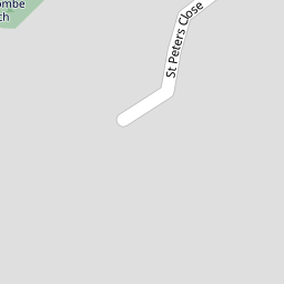
| St. Peters Close, Swanscombe, Kent, DA10 | £ 300,000 | BUY | 6 / 10 | 0.10 KM |
| St. Pauls Close, Swanscombe, Kent, DA10 | £ 265,000 | BUY | 6 / 10 | 0.11 KM |
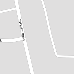
| Betsham Road, Swanscombe, Kent, DA10 | £ 260,000 | BUY | 7 / 10 | 0.12 KM |
Nearby Properties
| Address | Price | Distance |
|---|---|---|
| 9 Munford Drive | £ 315,000 | 0.00 KM |
| 3 Munford Drive | £ 148,000 | 0.00 KM |
| 52 Munford Drive | £ 135,000 | 0.00 KM |
| 4 Munford Drive | £ 225,000 | 0.01 KM |
| 54 Munford Drive | £ 179,995 | 0.01 KM |