UN
26b Dartford Road
£ 241,500
Description
We don't have a Description for this property.
- Bedrooms
- 1
- Bathrooms
- 0
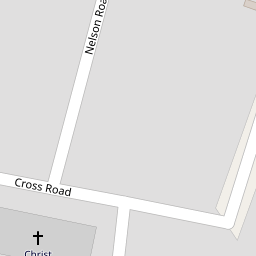
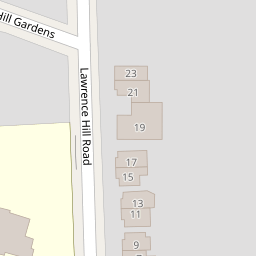

Leaflet © OpenStreetMap contributors
The heatmap indicates the level of crime in the area. The color of the heatmap indicates the crime severity and recency.
Metrics Year-on-Year
- Average area value
- 597,589.00 £Increased by 1.93 %
- Average area rental value
- 2,430.00 £/moDecreased by 2.53 %
- Est rental Yield
- 4.88 %Decreased by 4.31 %
- Crime Rate
- 11.00 %Unchanged by 0.00 %
from 586,263.00 £
from 2,493.00 £/mo
from 5.10 %
from 11.00 %
Nearby Schools
| Name | Type | Ofsted | Distance |
|---|---|---|---|
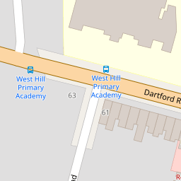
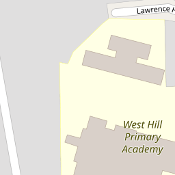
| West Hill Primary Academy | Academy Converter | Good | 0.01 KM |
| Dartford Grammar School | Academy Converter | 0.42 KM | |
| Dartford Grammar School For Girls | Academy Converter | Outstanding | 0.45 KM |
| Dartford Science & Technology College | Foundation School | Good | 0.60 KM |
| Our Lady'S Catholic Primary School, Dartford | Voluntary Aided School | Good | 0.67 KM |
Images
Nearby Streets
| Name | Average Price | Average Sqft | Distance |
|---|---|---|---|
| Western Terrace | £ 550,000 | 0 | 0.00 KM |
| West Hill Rise | £ 307,500 | 0 | 0.00 KM |
| Laurel Close | £ 0 | 0 | 0.00 KM |
| Trinity Gardens | £ 0 | 0 | 0.00 KM |
| Zion Cottages | £ 0 | 0 | 0.00 KM |
Nearby Transport
| Name | NLC | TLC | Distance |
|---|---|---|---|
| Dartford | 5101 | DFD | 1.89 KM |
| Crayford | 5100 | CRY | 2.58 KM |
| Slade Green | 5154 | SGR | 2.64 KM |
| Erith | 5104 | ERH | 4.88 KM |
| Barnehurst | 5089 | BNH | 5.11 KM |
Nearby Listings
| Address | Price | Type | Score | Distance |
|---|---|---|---|---|
| Acworth Close, Dartford Road, Dartford | £ 400,000 | BUY | Unknown | 0.03 KM |
| Dartford Road, Dartford, Kent, DA1 3EQ | £ 425,000 | BUY | 7 / 10 | 0.06 KM |
| Nelson Road, West Dartford, Kent, DA1 | £ 435,000 | BUY | Unknown | 0.07 KM |
| Nelson Road, West Dartford | £ 400,000 | BUY | 6 / 10 | 0.11 KM |
| Stanham Road, Dartford | £ 595,000 | BUY | 6 / 10 | 0.14 KM |
Nearby Properties
| Address | Price | Distance |
|---|---|---|
| 26c Dartford Road | £ 210,000 | 0.00 KM |
| 26a Dartford Road | £ 175,000 | 0.00 KM |
| 26b Dartford Road | £ 241,500 | 0.00 KM |
| 65 Dartford Road | £ 179,995 | 0.05 KM |
| 71 Dartford Road | £ 230,000 | 0.05 KM |