UN
3 Colmanton Grove
£ 259,000
Description
We don't have a Description for this property.
- Bedrooms
- 3
- Bathrooms
- 0

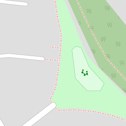

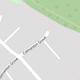


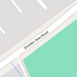

Leaflet © OpenStreetMap contributors
The heatmap indicates the level of crime in the area. The color of the heatmap indicates the crime severity and recency.
Metrics Year-on-Year
- Average area value
- 437,533.00 £Increased by 5.68 %
- Average area rental value
- 1,450.00 £/moIncreased by 18.37 %
- Est rental Yield
- 3.98 %Increased by 12.11 %
- Crime Rate
- 31.00 %Unchanged by 0.00 %
from 413,999.00 £
from 1,225.00 £/mo
from 3.55 %
from 31.00 %
Nearby Schools
| Name | Type | Ofsted | Distance |
|---|---|---|---|
| Sholden Church Of England Primary School | Academy Converter | 0.32 KM | |
| Hornbeam Primary School | Academy Converter | 0.57 KM | |
| Warden House Primary School | Academy Converter | Outstanding | 1.07 KM |
| St Mary'S Catholic Primary School | Academy Converter | Good | 1.41 KM |
| Brewood Secondary School | Other Independent Special School | Good | 2.15 KM |
Images
Nearby Streets
| Name | Average Price | Average Sqft | Distance |
|---|---|---|---|
| Norman Place | £ 342,970 | 0 | 0.00 KM |
| Farm Lane | £ 394,500 | 0 | 0.00 KM |
| Leisure Path | £ 0 | 0 | 0.00 KM |
| St. Nicholas Close | £ 0 | 0 | 0.00 KM |
| St. Augustines Road | £ 0 | 0 | 0.00 KM |
Nearby Transport
| Name | NLC | TLC | Distance |
|---|---|---|---|
| Walmer | 5041 | WAM | 2.56 KM |
| Deal | 5011 | DEA | 2.85 KM |
| Sandwich | 5026 | SDW | 6.11 KM |
| Martin Mill | 5040 | MTM | 6.55 KM |
Nearby Listings
| Address | Price | Type | Score | Distance |
|---|---|---|---|---|
| Colmanton Grove, Sholden, Deal, CT14 | £ 315,000 | BUY | 5 / 10 | 0.03 KM |
| Beech Tree Avenue, Sholden Fields, CT14 | £ 357,500 | BUY | 8 / 10 | 0.07 KM |
| Sholden | £ 349,950 | BUY | 6 / 10 | 0.07 KM |
| Colmanton Grove, Sholden, Deal, Kent | £ 310,000 | BUY | 7 / 10 | 0.07 KM |
| Nicholas Way, Sholden, Deal, Kent | £ 300,000 | BUY | Unknown | 0.08 KM |
Nearby Properties
| Address | Price | Distance |
|---|---|---|
| 30 Colmanton Grove | £ 258,000 | 0.00 KM |
| 11 Colmanton Grove | £ 219,995 | 0.00 KM |
| 1 Colmanton Grove | £ 260,000 | 0.00 KM |
| 3 Colmanton Grove | £ 259,000 | 0.00 KM |
| 16 Colmanton Grove | £ 309,995 | 0.00 KM |