UN
Greenways
£ 166,500
Description
We don't have a Description for this property.
- Bedrooms
- 2
- Bathrooms
- 0
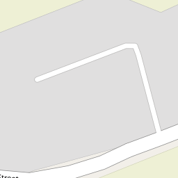


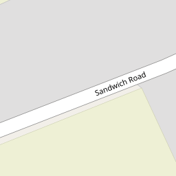


Leaflet © OpenStreetMap contributors
The heatmap indicates the level of crime in the area. The color of the heatmap indicates the crime severity and recency.
Metrics Year-on-Year
- Average area value
- 642,571.00 £Decreased by 5.01 %
- Average area rental value
- 1,045.00 £/moDecreased by 18.93 %
- Est rental Yield
- 1.95 %Decreased by 14.85 %
- Crime Rate
- 4.00 %Unchanged by 0.00 %
from 676,466.00 £
from 1,289.00 £/mo
from 2.29 %
from 4.00 %
Nearby Schools
| Name | Type | Ofsted | Distance |
|---|---|---|---|
| The Davenport School | Other Independent Special School | Requires improvement | 1.46 KM |
| Sandwich Technology School | Academy Converter | Good | 2.34 KM |
| Sandwich Junior School | Community School | Outstanding | 2.38 KM |
| Eastry Church Of England Primary School | Voluntary Controlled School | Requires improvement | 2.53 KM |
| Sandwich Infant School | Academy Converter | 2.74 KM |
Images
Nearby Streets
| Name | Average Price | Average Sqft | Distance |
|---|---|---|---|
| Shemara Court | £ 0 | 0 | 0.00 KM |
Nearby Transport
| Name | NLC | TLC | Distance |
|---|---|---|---|
| Sandwich | 5026 | SDW | 3.14 KM |
| Minster | 5019 | MSR | 6.99 KM |
Nearby Listings
| Address | Price | Type | Score | Distance |
|---|---|---|---|---|
| The Street, Woodnesborough | £ 325,000 | BUY | 6 / 10 | 0.04 KM |
| The Street, Woodnesborough, Sandwich, Kent, CT13 | £ 385,000 | BUY | 6 / 10 | 0.20 KM |
| The Street, Woodnesborough, Sandwich, Kent, CT13 | £ 130,000 | BUY | 7 / 10 | 0.33 KM |
| The Street, Woodnesborough, Sandwich, Kent, CT13 | £ 125,000 | BUY | 6 / 10 | 0.34 KM |
| Sandwich Road, Woodnesborough, Sandwich, Kent, CT13 | £ 499,000 | BUY | 7 / 10 | 0.38 KM |
Nearby Properties
| Address | Price | Distance |
|---|---|---|
| Marylebone Lodge | £ 375,000 | 0.00 KM |
| Greenways | £ 166,500 | 0.00 KM |
| Belford | £ 200,000 | 0.00 KM |
| Lindisfarne | £ 225,000 | 0.00 KM |
| Orchard House | £ 318,000 | 0.00 KM |