UN
2 Lanes Avenue
£ 280,000
Description
We don't have a Description for this property.
- Bedrooms
- 3
- Bathrooms
- 0
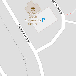
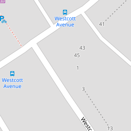


Leaflet © OpenStreetMap contributors
The heatmap indicates the level of crime in the area. The color of the heatmap indicates the crime severity and recency.
Metrics Year-on-Year
- Average area value
- 561,238.00 £Increased by 15.39 %
- Average area rental value
- 1,843.00 £/moIncreased by 5.13 %
- Est rental Yield
- 3.94 %Decreased by 8.80 %
- Crime Rate
- 12.00 %Unchanged by 0.00 %
from 486,385.00 £
from 1,753.00 £/mo
from 4.32 %
from 12.00 %
Nearby Schools
| Name | Type | Ofsted | Distance |
|---|---|---|---|
| Bright Futures Children'S Centre | Children's Centre | 0.11 KM | |
| Shears Green Junior School | Foundation School | Good | 0.28 KM |
| Saint George'S Church Of England School | Academy Converter | Good | 0.53 KM |
| Cecil Road Primary And Nursery School | Foundation School | Good | 0.85 KM |
| Mayfield Grammar School, Gravesend | Academy Converter | Outstanding | 1.23 KM |
Images
Nearby Streets
| Name | Average Price | Average Sqft | Distance |
|---|---|---|---|
| Garden Row | £ 230,000 | 0 | 0.00 KM |
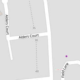
| Field Lane | £ 0 | 0 | 0.00 KM |
| Lanes Avenue | £ 350,000 | 0 | 0.00 KM |
| White Avenue | £ 0 | 0 | 0.00 KM |
| Hectare Lane | £ 0 | 0 | 0.00 KM |
Nearby Transport
| Name | NLC | TLC | Distance |
|---|---|---|---|
| Gravesend | 5172 | GRV | 2.01 KM |
| Tilbury Town | 7462 | TIL | 4.09 KM |
| Northfleet | 5120 | NFL | 4.28 KM |
| Meopham | 5116 | MEP | 4.38 KM |
| Ebbsfleet International | 5566 | EBD | 4.46 KM |
Nearby Listings
| Address | Price | Type | Score | Distance |
|---|---|---|---|---|
| Field Lane, Gravesend, Kent, DA11 | £ 475,000 | BUY | 8 / 10 | 0.26 KM |
| Field Lane, GRAVESEND, Kent, DA11 | £ 340,000 | BUY | 7 / 10 | 0.26 KM |
| Field Lane, GRAVESEND, Kent, DA11 | £ 166,600 | BUY | 7 / 10 | 0.26 KM |
| Cornfield Drive, Gravesend, Kent | £ 265,000 | BUY | 5 / 10 | 0.27 KM |
| Cornfield Drive, Gravesend, Kent | £ 159,000 | BUY | 5 / 10 | 0.27 KM |
Nearby Properties
| Address | Price | Distance |
|---|---|---|
| 12 Lanes Avenue | £ 331,500 | 0.00 KM |
| 2 Lanes Avenue | £ 280,000 | 0.00 KM |
| 40 Lanes Avenue | £ 270,000 | 0.00 KM |
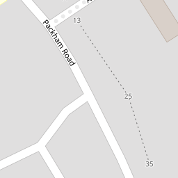
| 17 Packham Road | £ 198,000 | 0.12 KM |
| 1 Packham Road | £ 155,200 | 0.12 KM |