UN
72 Poplar Avenue
£ 200,000
Description
We don't have a Description for this property.
- Bedrooms
- 3
- Bathrooms
- 0
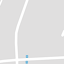

Leaflet © OpenStreetMap contributors
The heatmap indicates the level of crime in the area. The color of the heatmap indicates the crime severity and recency.
Metrics Year-on-Year
- Average area value
- 325,636.00 £Increased by 12.05 %
- Average area rental value
- 1,600.00 £/moDecreased by 5.88 %
- Est rental Yield
- 5.90 %Decreased by 15.95 %
- Crime Rate
- 11.00 %Unchanged by 0.00 %
from 290,615.00 £
from 1,700.00 £/mo
from 7.02 %
from 11.00 %
Nearby Schools
| Name | Type | Ofsted | Distance |
|---|---|---|---|
| King'S Farm Primary School | Community School | Good | 0.23 KM |
| Ifield School | Foundation Special School | Outstanding | 0.35 KM |
| Kings Farm Children'S Centre | Children's Centre | 0.61 KM | |
| Whitehill Primary School | Academy Converter | Good | 0.65 KM |
| Singlewell Primary School | Community School | Good | 1.24 KM |
Images
Nearby Streets
| Name | Average Price | Average Sqft | Distance |
|---|---|---|---|
| Hudson Close | £ 0 | 0 | 0.00 KM |
| Jellicoe Avenue | £ 0 | 0 | 0.00 KM |
| Kings Drive | £ 425,000 | 0 | 0.00 KM |
| Bristol Road | £ 410,000 | 0 | 0.00 KM |
| Woods Terrace | £ 0 | 0 | 0.00 KM |
Nearby Transport
| Name | NLC | TLC | Distance |
|---|---|---|---|
| Gravesend | 5172 | GRV | 2.52 KM |
| Sole Street | 5126 | SOR | 4.18 KM |
| Meopham | 5116 | MEP | 4.33 KM |
| Tilbury Town | 7462 | TIL | 5.23 KM |
| Northfleet | 5120 | NFL | 6.34 KM |
Nearby Listings
| Address | Price | Type | Score | Distance |
|---|---|---|---|---|
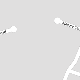
| Mallory Close, Gravesend, Kent, DA12 | £ 220,000 | BUY | 5 / 10 | 0.19 KM |
| Mallory Close, Gravesend, Kent, DA12 | £ 225,000 | BUY | Unknown | 0.19 KM |
| Christianfields Avenue, Gravesend | £ 300,000 | BUY | 7 / 10 | 0.20 KM |
| Hawkins Avenue, Gravesend | £ 250,000 | BUY | 6 / 10 | 0.20 KM |
| Gloucester Road Gravesend DA12 | £ 350,000 | BUY | Unknown | 0.23 KM |
Nearby Properties
| Address | Price | Distance |
|---|---|---|
| 62 Poplar Avenue | £ 125,000 | 0.00 KM |
| 24 Poplar Avenue | £ 320,000 | 0.00 KM |
| 72 Poplar Avenue | £ 200,000 | 0.00 KM |
| 58 Poplar Avenue | £ 270,000 | 0.00 KM |
| 10 Poplar Avenue | £ 233,500 | 0.00 KM |