UN
6 Frinstead Walk
£ 402,900
Description
We don't have a Description for this property.
- Bedrooms
- 4
- Bathrooms
- 0
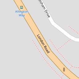


Leaflet © OpenStreetMap contributors
The heatmap indicates the level of crime in the area. The color of the heatmap indicates the crime severity and recency.
Metrics Year-on-Year
- Average area value
- 434,014.00 £Increased by 14.09 %
- Average area rental value
- 1,525.00 £/moDecreased by 11.18 %
- Est rental Yield
- 4.22 %Decreased by 22.14 %
- Crime Rate
- 1.00 %Unchanged by 0.00 %
from 380,419.00 £
from 1,717.00 £/mo
from 5.42 %
from 1.00 %
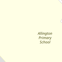
Nearby Schools
| Name | Type | Ofsted | Distance |
|---|---|---|---|
| Allington Primary School | Academy Converter | 0.17 KM | |
| Palace Wood Primary School | Community School | Good | 0.39 KM |
| St Francis' Catholic Primary School, Maidstone | Voluntary Aided School | Good | 1.47 KM |
| St Simon Stock Catholic School | Academy Converter | Good | 1.56 KM |
| St Augustine Academy | Academy Sponsor Led | Good | 1.91 KM |
Images
Nearby Streets
| Name | Average Price | Average Sqft | Distance |
|---|---|---|---|
| Nursery Avenue | £ 583,333 | 0 | 0.00 KM |
| Woodpecker Close | £ 0 | 0 | 0.00 KM |
| Beauelieu Walk | £ 0 | 0 | 0.00 KM |
| Beaver Road | £ 600,000 | 0 | 0.00 KM |
| Beech Drive | £ 600,000 | 0 | 0.00 KM |
Nearby Transport
| Name | NLC | TLC | Distance |
|---|---|---|---|
| Barming | 5133 | BMG | 1.65 KM |
| Maidstone Barracks | 5237 | MDB | 2.46 KM |
| Maidstone West | 5222 | MDW | 3.02 KM |
| Maidstone East | 5115 | MDE | 3.19 KM |
| Aylesford | 5162 | AYL | 3.47 KM |
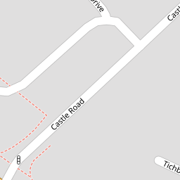
Nearby Listings
| Address | Price | Type | Score | Distance |
|---|---|---|---|---|
| Castle Road, Allington, Maidstone ME16 | £ 460,000 | BUY | 7 / 10 | 0.23 KM |
| Hildenborough Crescent, Allington, Maidstone | £ 400,000 | BUY | 7 / 10 | 0.23 KM |
| Nursery Avenue, Allington, Maidstone ME16 | £ 465,000 | BUY | 7 / 10 | 0.24 KM |
| Lamberhurst Road, Allington, Maidstone ME16 | £ 550,000 | BUY | 7 / 10 | 0.26 KM |
| Tichborne Close, Allington, Maidstone ME16 | £ 375,000 | BUY | Unknown | 0.26 KM |
Nearby Properties
| Address | Price | Distance |
|---|---|---|
| 16 Frinstead Walk | £ 422,000 | 0.00 KM |
| 17 Frinstead Walk | £ 249,995 | 0.00 KM |
| 6 Frinstead Walk | £ 402,900 | 0.00 KM |
| 11 Adisham Drive | £ 249,995 | 0.09 KM |
| 8 Adisham Drive | £ 245,000 | 0.09 KM |