UN
48 Ragstone Road
£ 220,000
Description
We don't have a Description for this property.
- Bedrooms
- 3
- Bathrooms
- 0
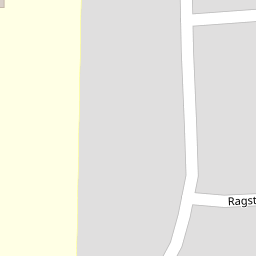
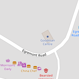


Leaflet © OpenStreetMap contributors
The heatmap indicates the level of crime in the area. The color of the heatmap indicates the crime severity and recency.
Metrics Year-on-Year
- Average area value
- 549,367.00 £Increased by 10.64 %
- Average area rental value
- 1,472.00 £/moIncreased by 5.90 %
- Est rental Yield
- 3.22 %Decreased by 4.17 %
- Crime Rate
- 4.00 %Unchanged by 0.00 %
from 496,546.00 £
from 1,390.00 £/mo
from 3.36 %
from 4.00 %
Nearby Schools
| Name | Type | Ofsted | Distance |
|---|---|---|---|
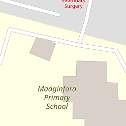
| Madginford Primary School | Community School | Good | 0.17 KM |
| Roseacre Junior School | Foundation School | Outstanding | 0.95 KM |
| Thurnham Church Of England Infant School | Voluntary Controlled School | Outstanding | 0.97 KM |
| Greenfields Childrens Centre | Children's Centre | 1.93 KM | |
| Senacre Wood Primary School | Community School | Good | 1.95 KM |
Images
Nearby Streets
| Name | Average Price | Average Sqft | Distance |
|---|---|---|---|
| Bradley Court | £ 550,000 | 0 | 0.00 KM |
| Tyler's Croft | £ 0 | 0 | 0.00 KM |
| Roseacre Gardens | £ 701,000 | 0 | 0.00 KM |
| Lord Romney's Hill | £ 0 | 0 | 0.00 KM |
| Nursery Avenue | £ 0 | 0 | 0.00 KM |
Nearby Transport
| Name | NLC | TLC | Distance |
|---|---|---|---|
| Bearsted | 5091 | BSD | 1.77 KM |
| Maidstone East | 5115 | MDE | 5.21 KM |
| Maidstone West | 5222 | MDW | 5.64 KM |
| Maidstone Barracks | 5237 | MDB | 5.98 KM |
| Hollingbourne | 5141 | HBN | 6.79 KM |
Nearby Listings
| Address | Price | Type | Score | Distance |
|---|---|---|---|---|
| Ragstone Road, Bearsted, Maidstone, Kent | £ 375,000 | BUY | Unknown | 0.17 KM |
| Greensands Road, Bearsted, Maidstone, ME15 | £ 425,000 | BUY | 7 / 10 | 0.18 KM |
| Spot Lane, Maidstone, ME15 | £ 490,000 | BUY | 7 / 10 | 0.23 KM |
| Spot Lane, Bearsted, Maidstone | £ 375,000 | BUY | Unknown | 0.24 KM |
| Bramley Crescent, Bearsted, Maidstone | £ 400,000 | BUY | 7 / 10 | 0.26 KM |
Nearby Properties
| Address | Price | Distance |
|---|---|---|
| 33 Ragstone Road | £ 58,000 | 0.00 KM |
| 40 Ragstone Road | £ 215,000 | 0.00 KM |
| 48 Ragstone Road | £ 220,000 | 0.00 KM |
| 41 Ragstone Road | £ 241,000 | 0.00 KM |
| 50 Ragstone Road | £ 262,500 | 0.00 KM |