UN
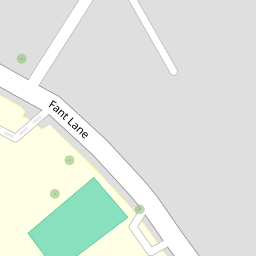
2 Fant Lane
£ 280,000
Description
We don't have a Description for this property.
- Bedrooms
- 2
- Bathrooms
- 0
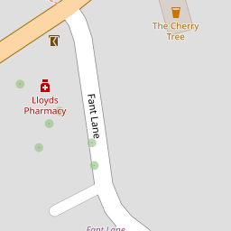


Leaflet © OpenStreetMap contributors
The heatmap indicates the level of crime in the area. The color of the heatmap indicates the crime severity and recency.
Metrics Year-on-Year
- Average area value
- 266,160.00 £Decreased by 4.72 %
- Average area rental value
- 1,273.00 £/moIncreased by 15.00 %
- Est rental Yield
- 5.74 %Increased by 20.59 %
- Crime Rate
- 5.00 %Unchanged by 0.00 %
from 279,340.00 £
from 1,107.00 £/mo
from 4.76 %
from 5.00 %
Nearby Schools
| Name | Type | Ofsted | Distance |
|---|---|---|---|
| Bower Grove School | Foundation Special School | Outstanding | 0.07 KM |
| Jubilee Primary School | Free Schools | Outstanding | 0.32 KM |
| West Borough Children'S Centre | Children's Centre | 0.37 KM | |
| West Borough Primary School | Community School | Good | 0.37 KM |
| St Francis' Catholic Primary School, Maidstone | Voluntary Aided School | Good | 1.04 KM |
Images
Nearby Streets
| Name | Average Price | Average Sqft | Distance |
|---|---|---|---|
| Pine Lodge | £ 115,000 | 0 | 0.00 KM |
| The Russets | £ 500,000 | 0 | 0.00 KM |
| Concorde Road | £ 0 | 0 | 0.00 KM |
| Bartlett Way | £ 1,600,000 | 0 | 0.00 KM |
| Conference Way | £ 350,000 | 0 | 0.00 KM |
Nearby Transport
| Name | NLC | TLC | Distance |
|---|---|---|---|
| East Farleigh | 5234 | EFL | 1.39 KM |
| Barming | 5133 | BMG | 2.24 KM |
| Maidstone Barracks | 5237 | MDB | 3.03 KM |
| Maidstone West | 5222 | MDW | 3.04 KM |
| Maidstone East | 5115 | MDE | 3.82 KM |
Nearby Listings
| Address | Price | Type | Score | Distance |
|---|---|---|---|---|
| Fant Lane, Maidstone, Kent, ME16 | £ 375,000 | BUY | 5 / 10 | 0.01 KM |
| Fant Lane, Maidstone, Kent | £ 230,000 | BUY | 5 / 10 | 0.02 KM |
| Tonbridge Road, Maidstone, Kent, ME16 | £ 220,000 | BUY | Unknown | 0.12 KM |
| Tonbridge Road, Maidstone, Kent, ME16 | £ 240,000 | BUY | 7 / 10 | 0.16 KM |
| Tonbridge Road, Maidstone, Kent, ME16 8NH | £ 150,000 | BUY | Unknown | 0.18 KM |
Nearby Properties
| Address | Price | Distance |
|---|---|---|
| 7 Fant Lane | £ 182,000 | 0.00 KM |
| 14 Fant Lane | £ 198,000 | 0.00 KM |
| 18 Fant Lane | £ 111,000 | 0.00 KM |
| 2 Fant Lane | £ 280,000 | 0.00 KM |
| 17 Fant Lane | £ 180,000 | 0.00 KM |