UN
153 Tonbridge Road
£ 142,500
Description
We don't have a Description for this property.
- Bedrooms
- 3
- Bathrooms
- 0


Leaflet © OpenStreetMap contributors
The heatmap indicates the level of crime in the area. The color of the heatmap indicates the crime severity and recency.
Metrics Year-on-Year
- Average area value
- 266,160.00 £Decreased by 4.72 %
- Average area rental value
- 1,273.00 £/moIncreased by 15.00 %
- Est rental Yield
- 5.74 %Increased by 20.59 %
- Crime Rate
- 1.00 %Unchanged by 0.00 %
from 279,340.00 £
from 1,107.00 £/mo
from 4.76 %
from 1.00 %
Nearby Schools
| Name | Type | Ofsted | Distance |
|---|---|---|---|
| Oakwood Park Grammar School | Academy Converter | Good | 0.20 KM |
| St Augustine Academy | Academy Sponsor Led | Good | 0.30 KM |
| St Simon Stock Catholic School | Academy Converter | Good | 0.54 KM |
| St Francis' Catholic Primary School, Maidstone | Voluntary Aided School | Good | 0.64 KM |
| West Borough Children'S Centre | Children's Centre | 0.71 KM |
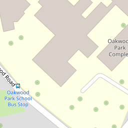
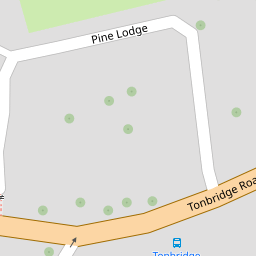
Images
Nearby Streets
| Name | Average Price | Average Sqft | Distance |
|---|---|---|---|
| Pine Lodge | £ 115,000 | 0 | 0.00 KM |
| Speldhurst Court | £ 0 | 0 | 0.00 KM |
| St Michael's Road | £ 462,500 | 0 | 0.00 KM |
| Rosemount Close | £ 1,066,667 | 0 | 0.00 KM |
| The Russets | £ 500,000 | 0 | 0.00 KM |
Nearby Transport
| Name | NLC | TLC | Distance |
|---|---|---|---|
| East Farleigh | 5234 | EFL | 2.02 KM |
| Maidstone West | 5222 | MDW | 2.03 KM |
| Maidstone Barracks | 5237 | MDB | 2.08 KM |
| Barming | 5133 | BMG | 2.78 KM |
| Maidstone East | 5115 | MDE | 2.84 KM |
Nearby Listings
| Address | Price | Type | Score | Distance |
|---|---|---|---|---|
| Tonbridge Road, Maidstone, Kent | £ 325,000 | BUY | Unknown | 0.02 KM |
| Milton Street, Maidstone, Kent | £ 170,000 | BUY | 6 / 10 | 0.12 KM |
| Tonbridge Road, Maidstone | £ 300,000 | BUY | 5 / 10 | 0.14 KM |
| Flat 2, Pine Lodge, Tonbridge Road, Maidstone, Kent ME16 8TA | £ 90,000 | BUY | 5 / 10 | 0.15 KM |
| Tonbridge Road, Maidstone, ME16 | £ 115,000 | BUY | 4 / 10 | 0.16 KM |
Nearby Properties
| Address | Price | Distance |
|---|---|---|
| 189 Tonbridge Road | £ 167,000 | 0.00 KM |
| 159 Tonbridge Road | £ 160,000 | 0.00 KM |
| 155 Tonbridge Road | £ 208,000 | 0.00 KM |
| 143 Tonbridge Road | £ 153,000 | 0.00 KM |
| 153 Tonbridge Road | £ 142,500 | 0.00 KM |