UN
5 Usborne Close
£ 285,000
Description
We don't have a Description for this property.
- Bedrooms
- 3
- Bathrooms
- 0
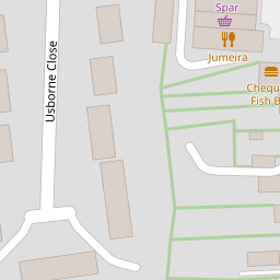
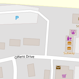
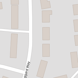
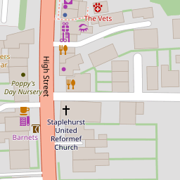

Leaflet © OpenStreetMap contributors
The heatmap indicates the level of crime in the area. The color of the heatmap indicates the crime severity and recency.
Metrics Year-on-Year
- Average area value
- 359,625.00 £Decreased by 23.81 %
- Average area rental value
- 1,583.00 £/moIncreased by 2.19 %
- Est rental Yield
- 5.28 %Increased by 34.01 %
- Crime Rate
- 26.00 %Unchanged by 0.00 %
from 472,010.00 £
from 1,549.00 £/mo
from 3.94 %
from 26.00 %
Nearby Schools
| Name | Type | Ofsted | Distance |
|---|---|---|---|
| Staplehurst School | Community School | Requires improvement | 0.21 KM |
| Frittenden Church Of England Primary School | Voluntary Controlled School | Good | 5.02 KM |
| Sissinghurst Voluntary Aided Church Of England Primary School | Voluntary Aided School | Good | 5.38 KM |
| Colliers Green Church Of England Primary School | Voluntary Aided School | Good | 6.14 KM |
| Cranbrook Church Of England Primary School | Voluntary Controlled School | Good | 6.89 KM |
Images
Nearby Streets
| Name | Average Price | Average Sqft | Distance |
|---|---|---|---|
| Nicholsons Walk | £ 0 | 0 | 0.00 KM |
| High Street | £ 492,824 | 0 | 0.00 KM |
| Maybourne Place | £ 650,000 | 0 | 0.00 KM |
| Crouch Road | £ 300,000 | 0 | 0.00 KM |
| Lodge Road | £ 0 | 0 | 0.00 KM |
Nearby Transport
| Name | NLC | TLC | Distance |
|---|---|---|---|
| Staplehurst | 5228 | SPU | 1.28 KM |
| Marden (Kent) | 5223 | MRN | 6.64 KM |
| Headcorn | 5220 | HCN | 8.46 KM |
Nearby Listings
| Address | Price | Type | Score | Distance |
|---|---|---|---|---|
| Tipples Field , Staplehurst , Tonbridge , TN12 0JF | £ 895,000 | BUY | 7 / 10 | 0.11 KM |
| Staplehurst, Kent | £ 345,000 | BUY | 6 / 10 | 0.13 KM |
| Jaggard Way, Staplehurst, Tonbridge, Kent | £ 310,000 | BUY | Unknown | 0.14 KM |
| Staplehurst, Kent | £ 595,000 | BUY | 7 / 10 | 0.17 KM |
| Staplehurst, Kent | £ 410,000 | BUY | 7 / 10 | 0.18 KM |
Nearby Properties
| Address | Price | Distance |
|---|---|---|
| 5 Usborne Close | £ 285,000 | 0.00 KM |
| 7 Usborne Close | £ 215,000 | 0.00 KM |
| 23 Usborne Close | £ 255,000 | 0.00 KM |
| 17 Usborne Close | £ 219,995 | 0.00 KM |
| 2 The Parade | £ 311,500 | 0.08 KM |