UN
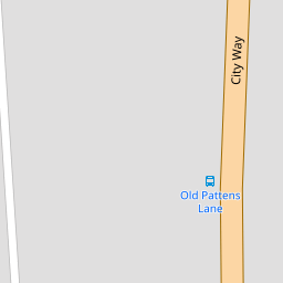
170 City Way
£ 250,000
Description
We don't have a Description for this property.
- Bedrooms
- 4
- Bathrooms
- 0
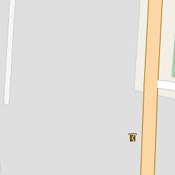

Leaflet © OpenStreetMap contributors
The heatmap indicates the level of crime in the area. The color of the heatmap indicates the crime severity and recency.
Metrics Year-on-Year
- Average area value
- 295,897.00 £Increased by 1.34 %
- Average area rental value
- 1,067.00 £/moDecreased by 10.11 %
- Est rental Yield
- 4.33 %Decreased by 11.27 %
- Crime Rate
- 1.00 %Unchanged by 0.00 %
from 291,993.00 £
from 1,187.00 £/mo
from 4.88 %
from 1.00 %
Nearby Schools
| Name | Type | Ofsted | Distance |
|---|---|---|---|
| Balfour Junior School | Academy Converter | Good | 0.63 KM |
| Fort Pitt Grammar School | Academy Converter | 0.65 KM | |
| St Peter'S Infant School | Community School | Good | 0.66 KM |
| Crest Infant School | Community School | Good | 0.69 KM |
| Balfour Infant School | Community School | Good | 0.74 KM |
Images
Nearby Streets
| Name | Average Price | Average Sqft | Distance |
|---|---|---|---|
| The Cut | £ 462,500 | 0 | 0.00 KM |
| New Road | £ 190,000 | 0 | 0.00 KM |
| St Alban's Walk | £ 0 | 0 | 0.00 KM |
| Victoria Street | £ 0 | 0 | 0.00 KM |
| Anchor Road | £ 365,000 | 0 | 0.00 KM |
Nearby Transport
| Name | NLC | TLC | Distance |
|---|---|---|---|
| Rochester | 5203 | RTR | 1.08 KM |
| Chatham | 5199 | CTM | 1.30 KM |
| Strood (Kent) | 5191 | SOO | 2.56 KM |
| Gillingham (Kent) | 5169 | GLM | 4.53 KM |
| Cuxton | 5201 | CUX | 5.38 KM |
Nearby Listings
| Address | Price | Type | Score | Distance |
|---|---|---|---|---|
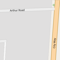
| Arthur Road, Rochester, Kent | £ 310,000 | BUY | Unknown | 0.10 KM |
| Amherst Road, Rochester | £ 260,000 | BUY | Unknown | 0.18 KM |
| Amherst Road, Rochester, Kent, ME1 | £ 280,000 | BUY | 7 / 10 | 0.19 KM |
| Onslow Road, Rochester, Kent. ME1 | £ 290,000 | BUY | 6 / 10 | 0.19 KM |
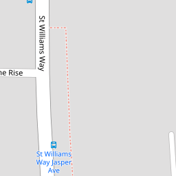
| St. Williams Way, Rochester, Kent, ME1 | £ 425,000 | BUY | 7 / 10 | 0.20 KM |
Nearby Properties
| Address | Price | Distance |
|---|---|---|
| 198 City Way | £ 250,000 | 0.00 KM |
| 170 City Way | £ 250,000 | 0.00 KM |
| 162 City Way | £ 250,000 | 0.00 KM |
| 156 City Way | £ 150,000 | 0.00 KM |
| 192 City Way | £ 475,000 | 0.00 KM |