UN
9 Dale Road
£ 172,000
Description
We don't have a Description for this property.
- Bedrooms
- 3
- Bathrooms
- 0
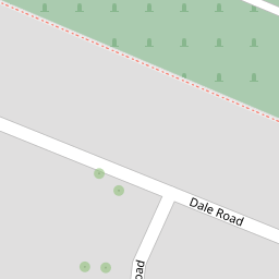

Leaflet © OpenStreetMap contributors
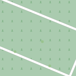
The heatmap indicates the level of crime in the area. The color of the heatmap indicates the crime severity and recency.
Metrics Year-on-Year
- Average area value
- 295,897.00 £Increased by 1.34 %
- Average area rental value
- 1,067.00 £/moDecreased by 10.11 %
- Est rental Yield
- 4.33 %Decreased by 11.27 %
- Crime Rate
- 3.00 %Unchanged by 0.00 %
from 291,993.00 £
from 1,187.00 £/mo
from 4.88 %
from 3.00 %
Nearby Schools
| Name | Type | Ofsted | Distance |
|---|---|---|---|
| St Peter'S Infant School | Community School | Good | 0.29 KM |
| St William Of Perth Roman Catholic Primary School | Voluntary Aided School | Good | 0.48 KM |
| The Rochester Grammar School | Academy Converter | 0.48 KM | |
| Delce Academy | Academy Converter | 0.60 KM | |
| Sir Joseph Williamson'S Mathematical School | Academy Converter | 0.70 KM |
Images
Nearby Streets
| Name | Average Price | Average Sqft | Distance |
|---|---|---|---|
| Anchor Road | £ 365,000 | 0 | 0.00 KM |
| The Cut | £ 462,500 | 0 | 0.00 KM |
| Victoria Street | £ 0 | 0 | 0.00 KM |
| St. Margaret's Street | £ 740,000 | 0 | 0.00 KM |
| Almon Place | £ 297,500 | 0 | 0.00 KM |
Nearby Transport
| Name | NLC | TLC | Distance |
|---|---|---|---|
| Rochester | 5203 | RTR | 1.43 KM |
| Chatham | 5199 | CTM | 2.17 KM |
| Strood (Kent) | 5191 | SOO | 2.34 KM |
| Cuxton | 5201 | CUX | 4.47 KM |
| Gillingham (Kent) | 5169 | GLM | 5.42 KM |
Nearby Listings
| Address | Price | Type | Score | Distance |
|---|---|---|---|---|
| Dickens Road, Rochester | £ 180,000 | BUY | Unknown | 0.07 KM |
| Warden Road, Rochester, Kent. ME1 | £ 290,000 | BUY | Unknown | 0.16 KM |
| Bridge Road Rochester | £ 425,000 | BUY | 7 / 10 | 0.18 KM |
| Steerforth Close, Rochester, Kent, ME1 | £ 300,000 | BUY | 6 / 10 | 0.20 KM |
| Maidstone Road, Rochester | £ 350,000 | BUY | 6 / 10 | 0.25 KM |
Nearby Properties
| Address | Price | Distance |
|---|---|---|
| 31 Dale Road | £ 200,000 | 0.00 KM |
| 47 Dale Road | £ 222,000 | 0.00 KM |
| 27 Dale Road | £ 122,500 | 0.00 KM |
| 33 Dale Road | £ 129,995 | 0.00 KM |
| 9 Dale Road | £ 172,000 | 0.00 KM |