UN
7 Burgess Road
£ 205,000
Description
We don't have a Description for this property.
- Bedrooms
- 2
- Bathrooms
- 0
- Sqft
- 818.00
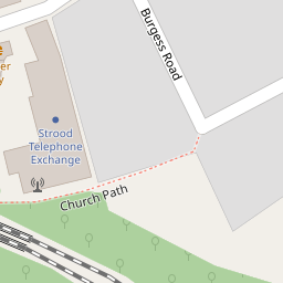
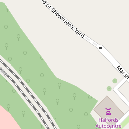

Leaflet © OpenStreetMap contributors
The heatmap indicates the level of crime in the area. The color of the heatmap indicates the crime severity and recency.
Metrics Year-on-Year
- Average area value
- 331,025.00 £Increased by 5.75 %
- Est sale value
- 294,480.00 £Increased by 46.34 %
- Average area rental value
- 1,304.00 £/moDecreased by 9.63 %
- Est letting value
- 818.00 £/moUnchanged by 0.00 %
- Est rental Yield
- 4.73 %Decreased by 14.47 %
- Crime Rate
- 32.00 %Unchanged by 0.00 %
from 313,022.00 £
from 201,228.00 £
from 1,443.00 £/mo
from 818.00 £/mo
from 5.53 %
from 32.00 %
Nearby Schools
| Name | Type | Ofsted | Distance |
|---|---|---|---|
| Gun Lane Children'S Centre | Children's Centre | 0.31 KM | |
| All Faiths Children'S Academy | Academy Converter | Good | 0.32 KM |
| English Martyrs' Catholic Primary School | Voluntary Aided School | Good | 0.61 KM |
| St Nicholas Church Of England Voluntary Controlled Infant School | Voluntary Controlled School | Outstanding | 0.81 KM |
| Gordons Children'S Academy, Junior | Academy Sponsor Led | Good | 0.95 KM |
Images
Nearby Streets
| Name | Average Price | Average Sqft | Distance |
|---|---|---|---|
| Edward Street | £ 0 | 0 | 0.00 KM |
| Taylor's Lane | £ 0 | 0 | 0.00 KM |
| RRX60 | £ 280,000 | 0 | 0.00 KM |
| RS124 | £ 380,000 | 0 | 0.00 KM |
| Deanery Gate | £ 0 | 0 | 0.00 KM |
Nearby Transport
| Name | NLC | TLC | Distance |
|---|---|---|---|
| Strood (Kent) | 5191 | SOO | 0.43 KM |
| Rochester | 5203 | RTR | 2.00 KM |
| Chatham | 5199 | CTM | 3.31 KM |
| Cuxton | 5201 | CUX | 4.62 KM |
| Higham | 5202 | HGM | 4.67 KM |
Nearby Listings
| Address | Price | Type | Score | Distance |
|---|---|---|---|---|
| Burgess Road, Strood | £ 260,000 | BUY | 6 / 10 | 0.02 KM |
| St. Mary's Road, Rochester, Kent | £ 300,000 | BUY | 5 / 10 | 0.06 KM |
| Vicarage Road, Strood, Rochester | £ 375,000 | BUY | Unknown | 0.16 KM |
| Gun Lane, Strood | £ 180,000 | BUY | Unknown | 0.17 KM |
| Grove Road, Rochester | £ 325,000 | BUY | Unknown | 0.25 KM |
Nearby Properties
| Address | Price | Distance |
|---|---|---|
| 10 Burgess Road | £ 117,000 | 0.00 KM |
| 5 Burgess Road | £ 110,000 | 0.00 KM |
| 3 Burgess Road | £ 124,995 | 0.00 KM |
| 9 Burgess Road | £ 177,000 | 0.00 KM |
| 7 Burgess Road | £ 205,000 | 0.00 KM |