UN
1 Central Road
£ 580,000
Description
We don't have a Description for this property.
- Bedrooms
- 5
- Bathrooms
- 0
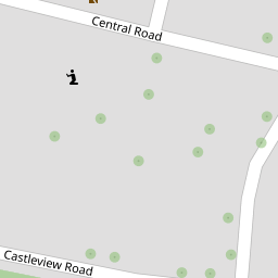


Leaflet © OpenStreetMap contributors
The heatmap indicates the level of crime in the area. The color of the heatmap indicates the crime severity and recency.
Metrics Year-on-Year
- Average area value
- 331,025.00 £Increased by 5.75 %
- Average area rental value
- 1,304.00 £/moDecreased by 9.63 %
- Est rental Yield
- 4.73 %Decreased by 14.47 %
- Crime Rate
- 9.00 %Unchanged by 0.00 %
from 313,022.00 £
from 1,443.00 £/mo
from 5.53 %
from 9.00 %
Nearby Schools
| Name | Type | Ofsted | Distance |
|---|---|---|---|
| Gordons Children'S Academy, Infant | Academy Sponsor Led | Good | 0.23 KM |
| Gordons Children'S Academy, Junior | Academy Sponsor Led | Good | 0.23 KM |
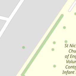
| St Nicholas Church Of England Voluntary Controlled Infant School | Voluntary Controlled School | Outstanding | 0.24 KM |
| All Faiths Children'S Academy | Academy Converter | Good | 0.73 KM |
| Gun Lane Children'S Centre | Children's Centre | 0.74 KM |
Images
Nearby Streets
| Name | Average Price | Average Sqft | Distance |
|---|---|---|---|
| Edward Street | £ 0 | 0 | 0.00 KM |
| Cedar Road; Hawthorn Road | £ 300,000 | 0 | 0.00 KM |
| Ash Road | £ 0 | 0 | 0.00 KM |
| Taylor's Lane | £ 0 | 0 | 0.00 KM |
| Russet Close | £ 0 | 0 | 0.00 KM |
Nearby Transport
| Name | NLC | TLC | Distance |
|---|---|---|---|
| Strood (Kent) | 5191 | SOO | 1.46 KM |
| Rochester | 5203 | RTR | 2.88 KM |
| Cuxton | 5201 | CUX | 3.81 KM |
| Higham | 5202 | HGM | 4.00 KM |
| Chatham | 5199 | CTM | 4.21 KM |
Nearby Listings
| Address | Price | Type | Score | Distance |
|---|---|---|---|---|
| Gordon Road, Strood | £ 250,000 | BUY | 5 / 10 | 0.05 KM |
| Gordon Road, Strood, Rochester, ME2 3HG | £ 300,000 | BUY | Unknown | 0.08 KM |
| Gordon Road, Rochester, Kent, ME2 3HJ | £ 180,000 | BUY | 6 / 10 | 0.11 KM |
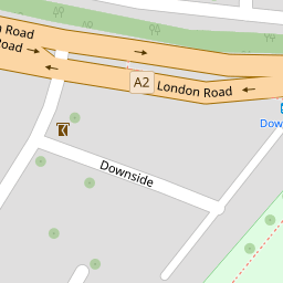
| Downside, Rochester | £ 150,000 | BUY | Unknown | 0.11 KM |
| Gordon Road, Rochester, ME2 3HG | £ 290,000 | BUY | Unknown | 0.12 KM |
Nearby Properties
| Address | Price | Distance |
|---|---|---|
| 1 Central Road | £ 580,000 | 0.00 KM |
| 2a Castle View Road | £ 176,000 | 0.05 KM |
| 7 Castle View Road | £ 750,000 | 0.05 KM |
| 3 Castle View Road | £ 161,000 | 0.05 KM |
| 2c Castle View Road | £ 130,000 | 0.05 KM |