UN
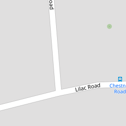
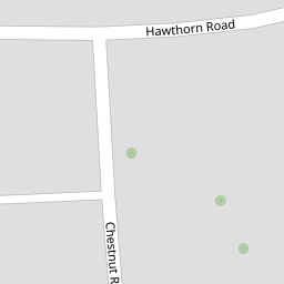
1 Chestnut Road
£ 135,000
Description
We don't have a Description for this property.
- Bedrooms
- 2
- Bathrooms
- 0

Leaflet © OpenStreetMap contributors
The heatmap indicates the level of crime in the area. The color of the heatmap indicates the crime severity and recency.
Metrics Year-on-Year
- Average area value
- 319,841.00 £Decreased by 3.86 %
- Average area rental value
- 1,549.00 £/moIncreased by 11.92 %
- Est rental Yield
- 5.81 %Increased by 16.43 %
- Crime Rate
- 13.00 %Unchanged by 0.00 %
from 332,678.00 £
from 1,384.00 £/mo
from 4.99 %
from 13.00 %
Nearby Schools
| Name | Type | Ofsted | Distance |
|---|---|---|---|
| Cedar Children'S Academy | Academy Sponsor Led | Good | 0.43 KM |
| Elaine Primary School | Academy Sponsor Led | 0.64 KM | |
| Manorway Independent School | Other Independent Special School | Inadequate | 0.83 KM |
| Strood Academy | Academy Sponsor Led | Good | 1.10 KM |
| Bligh Primary School (Infants) | Academy Converter | 1.32 KM |
Images
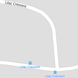
Nearby Streets
| Name | Average Price | Average Sqft | Distance |
|---|---|---|---|
| Lincoln Close | £ 270,000 | 0 | 0.00 KM |
| A2 | £ 375,000 | 0 | 0.00 KM |
| Wakefield Close | £ 240,000 | 0 | 0.00 KM |
| Ash Road | £ 0 | 0 | 0.00 KM |
| Cedar Road; Hawthorn Road | £ 300,000 | 0 | 0.00 KM |
Nearby Transport
| Name | NLC | TLC | Distance |
|---|---|---|---|
| Cuxton | 5201 | CUX | 2.16 KM |
| Strood (Kent) | 5191 | SOO | 3.09 KM |
| Rochester | 5203 | RTR | 4.13 KM |
| Higham | 5202 | HGM | 4.17 KM |
| Halling | 5173 | HAI | 5.18 KM |
Nearby Listings
| Address | Price | Type | Score | Distance |
|---|---|---|---|---|
| Chestnut Road, Strood, Rochester, ME2 2LH | £ 340,000 | BUY | Unknown | 0.04 KM |
| Lilac Road, Strood, Rochester | £ 350,000 | BUY | 7 / 10 | 0.09 KM |
| Hawthorn Road, Strood, Kent ME2 2HS | £ 250,000 | BUY | Unknown | 0.11 KM |
| Hawthorn Road, Rochester, Kent, ME2 | £ 260,000 | BUY | 6 / 10 | 0.12 KM |
| Lilac Road, Rochester, ME2 | £ 360,000 | BUY | 7 / 10 | 0.14 KM |
Nearby Properties
| Address | Price | Distance |
|---|---|---|
| 1 Chestnut Road | £ 135,000 | 0.00 KM |
| 24 Chestnut Road | £ 139,000 | 0.00 KM |
| 11 Chestnut Road | £ 87,500 | 0.00 KM |
| 5 Chestnut Road | £ 143,000 | 0.00 KM |
| 15 Chestnut Road | £ 115,000 | 0.00 KM |