UN
92 Poplar Road
£ 296,500
Description
We don't have a Description for this property.
- Bedrooms
- 3
- Bathrooms
- 0
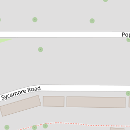


Leaflet © OpenStreetMap contributors
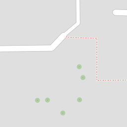
The heatmap indicates the level of crime in the area. The color of the heatmap indicates the crime severity and recency.
Metrics Year-on-Year
- Average area value
- 319,841.00 £Decreased by 3.86 %
- Average area rental value
- 1,549.00 £/moIncreased by 11.92 %
- Est rental Yield
- 5.81 %Increased by 16.43 %
- Crime Rate
- 9.00 %Unchanged by 0.00 %
from 332,678.00 £
from 1,384.00 £/mo
from 4.99 %
from 9.00 %
Nearby Schools
| Name | Type | Ofsted | Distance |
|---|---|---|---|
| Cedar Children'S Academy | Academy Sponsor Led | Good | 0.24 KM |
| Manorway Independent School | Other Independent Special School | Inadequate | 0.70 KM |
| Elaine Primary School | Academy Sponsor Led | 0.73 KM | |
| The Pilgrim School (A Church Of England Primary With Nursery) | Academy Converter | 1.58 KM | |
| St Nicholas Church Of England Voluntary Controlled Infant School | Voluntary Controlled School | Outstanding | 1.61 KM |
Images
Nearby Streets
| Name | Average Price | Average Sqft | Distance |
|---|---|---|---|
| Ash Road | £ 0 | 0 | 0.00 KM |
| Cedar Road; Hawthorn Road | £ 300,000 | 0 | 0.00 KM |
| A2 | £ 375,000 | 0 | 0.00 KM |
| M2 | £ 550,000 | 0 | 0.00 KM |
| Lincoln Close | £ 270,000 | 0 | 0.00 KM |
Nearby Transport
| Name | NLC | TLC | Distance |
|---|---|---|---|
| Cuxton | 5201 | CUX | 2.33 KM |
| Strood (Kent) | 5191 | SOO | 2.67 KM |
| Rochester | 5203 | RTR | 3.57 KM |
| Higham | 5202 | HGM | 4.57 KM |
| Chatham | 5199 | CTM | 4.83 KM |
Nearby Listings
| Address | Price | Type | Score | Distance |
|---|---|---|---|---|
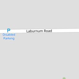
| Laburnum Road, Strood, Rochester, Kent | £ 280,000 | BUY | 6 / 10 | 0.04 KM |
| OPEN HOUSE SATURDAY 19TH APRIL LIMITED SLOTS AVAILABLE | £ 260,000 | BUY | 6 / 10 | 0.07 KM |
| Laburnum Road, Rochester, Kent, ME2 | £ 220,000 | BUY | 5 / 10 | 0.10 KM |
| Laburnum Road, Rochester, Kent, ME2 | £ 260,000 | BUY | 6 / 10 | 0.17 KM |
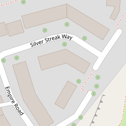
| Empire Road, Strood, Rochester, Kent. ME2 | £ 210,000 | BUY | Unknown | 0.20 KM |
Nearby Properties
| Address | Price | Distance |
|---|---|---|
| 54 Poplar Road | £ 120,000 | 0.00 KM |
| 62 Poplar Road | £ 118,000 | 0.00 KM |
| 38 Poplar Road | £ 140,000 | 0.00 KM |
| 78 Poplar Road | £ 280,000 | 0.00 KM |
| 92 Poplar Road | £ 296,500 | 0.00 KM |