UN
2 Fairfield Close
£ 355,000
Description
We don't have a Description for this property.
- Bedrooms
- 2
- Bathrooms
- 0
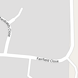

Leaflet © OpenStreetMap contributors
The heatmap indicates the level of crime in the area. The color of the heatmap indicates the crime severity and recency.
Metrics Year-on-Year
- Average area value
- 882,222.00 £Increased by 18.32 %
- Average area rental value
- 2,130.00 £/moDecreased by 15.31 %
- Est rental Yield
- 2.90 %Decreased by 28.40 %
- Crime Rate
- 16.00 %Unchanged by 0.00 %
from 745,607.00 £
from 2,515.00 £/mo
from 4.05 %
from 16.00 %
Nearby Schools
| Name | Type | Ofsted | Distance |
|---|---|---|---|
| Kemsing Primary School | Community School | Good | 0.71 KM |
| Seal Church Of England Voluntary Controlled Primary School | Voluntary Controlled School | Good | 1.58 KM |
| St Michael'S Prep School | Other Independent School | 2.33 KM | |
| Trinity School | Free Schools | Good | 2.69 KM |
| Sevenoaks Preparatory School | Other Independent School | 3.69 KM |
Images
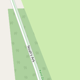
Nearby Streets
| Name | Average Price | Average Sqft | Distance |
|---|---|---|---|
| Noah's Ark | £ 525,000 | 0 | 0.00 KM |
| Church Lane | £ 875,000 | 0 | 0.00 KM |
| Middle Lane | £ 649,000 | 0 | 0.00 KM |
| The Green | £ 0 | 0 | 0.00 KM |
| Boleyn Road | £ 0 | 0 | 0.00 KM |
Nearby Transport
| Name | NLC | TLC | Distance |
|---|---|---|---|
| Kemsing | 5079 | KMS | 2.19 KM |
| Otford | 5071 | OTF | 3.70 KM |
| Bat And Ball | 5090 | BBL | 3.96 KM |
| Shoreham (Kent) | 5074 | SEH | 5.52 KM |
| Sevenoaks | 5124 | SEV | 5.81 KM |
Nearby Listings
| Address | Price | Type | Score | Distance |
|---|---|---|---|---|
| Park Lane, Kemsing, Sevenoaks, Kent, TN15 | £ 1,175,000 | BUY | 7 / 10 | 0.14 KM |
| Park Lane, Kemsing, TN15 | £ 620,000 | BUY | 8 / 10 | 0.19 KM |
| Park Lane, Kemsing, TN15 6NX | £ 400,000 | BUY | 6 / 10 | 0.22 KM |
| St. Ediths Road, Kemsing, TN15 | £ 725,000 | BUY | 8 / 10 | 0.30 KM |
| Old Barn Close, Kemsing, Sevenoaks | £ 550,000 | BUY | 6 / 10 | 0.33 KM |
Nearby Properties
| Address | Price | Distance |
|---|---|---|
| 2 Fairfield Close | £ 355,000 | 0.00 KM |
| 16 Fairfield Close | £ 336,000 | 0.00 KM |
| 32 Fairfield Close | £ 220,000 | 0.00 KM |
| 36 Fairfield Close | £ 255,000 | 0.00 KM |
| 61 Fairfield Close | £ 235,000 | 0.00 KM |