UN
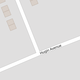
8 Hugin Avenue
£ 220,000
Description
We don't have a Description for this property.
- Bedrooms
- 4
- Bathrooms
- 0

Leaflet © OpenStreetMap contributors
The heatmap indicates the level of crime in the area. The color of the heatmap indicates the crime severity and recency.
Metrics Year-on-Year
- Average area value
- 439,763.00 £Increased by 13.61 %
- Average area rental value
- 1,600.00 £/moIncreased by 24.71 %
- Est rental Yield
- 4.37 %Increased by 9.80 %
- Crime Rate
- 18.00 %Unchanged by 0.00 %
from 387,074.00 £
from 1,283.00 £/mo
from 3.98 %
from 18.00 %
Nearby Schools
| Name | Type | Ofsted | Distance |
|---|---|---|---|
| Callis Grange Children'S Centre | Children's Centre | 0.45 KM | |
| Kms Kent Ltd | Special Post 16 Institution | 0.54 KM | |
| Cross Keys Learning | Other Independent Special School | Requires improvement | 0.54 KM |
| Callis Grange Nursery And Infant School | Community School | Outstanding | 0.58 KM |
| St Peter-In-Thanet Cofe Junior School | Voluntary Aided School | Good | 0.72 KM |
Images
Nearby Streets
| Name | Average Price | Average Sqft | Distance |
|---|---|---|---|
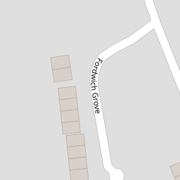
| Fordwich Grove | £ 315,000 | 0 | 0.00 KM |
| Napier Road | £ 250,000 | 0 | 0.00 KM |
| Albert Road | £ 239,983 | 0 | 0.00 KM |
| Livingstone Road | £ 392,499 | 0 | 0.00 KM |
| Victoria Road | £ 403,583 | 0 | 0.00 KM |
Nearby Transport
| Name | NLC | TLC | Distance |
|---|---|---|---|
| Broadstairs | 5006 | BSR | 1.68 KM |
| Dumpton Park | 5034 | DMP | 2.85 KM |
| Ramsgate | 5023 | RAM | 3.81 KM |
| Margate | 5018 | MAR | 5.81 KM |
| Westgate-On-Sea | 5195 | WGA | 9.38 KM |
Nearby Listings
| Address | Price | Type | Score | Distance |
|---|---|---|---|---|
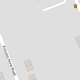
| Princess Anne Road, Broadstairs | £ 290,000 | BUY | 6 / 10 | 0.12 KM |
| Westover Road, Broadstairs, CT10 | £ 299,995 | BUY | 7 / 10 | 0.16 KM |
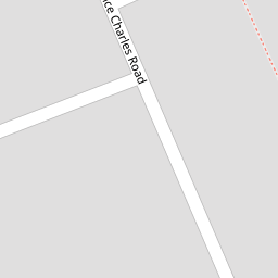
| Prince Charles Road, Broadstairs, Kent | £ 230,000 | BUY | 6 / 10 | 0.16 KM |
| Westover Road, Broadstairs, CT10 | £ 245,000 | BUY | 5 / 10 | 0.16 KM |
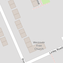
| Linley Road, Broadstairs, Kent | £ 250,000 | BUY | 6 / 10 | 0.19 KM |
Nearby Properties
| Address | Price | Distance |
|---|---|---|
| 7 Hugin Avenue | £ 180,000 | 0.00 KM |
| 8 Hugin Avenue | £ 220,000 | 0.00 KM |
| 21 Hugin Avenue | £ 232,000 | 0.00 KM |
| 20 Westover Gardens | £ 150,000 | 0.05 KM |
| 28 Westover Gardens | £ 136,000 | 0.05 KM |