UN
79 Park Lane
£ 375,000
Description
We don't have a Description for this property.
- Bedrooms
- 3
- Bathrooms
- 0
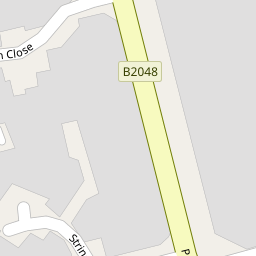
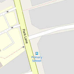
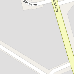

Leaflet © OpenStreetMap contributors
The heatmap indicates the level of crime in the area. The color of the heatmap indicates the crime severity and recency.
Metrics Year-on-Year
- Average area value
- 306,658.00 £Decreased by 0.16 %
- Average area rental value
- 950.00 £/moDecreased by 6.40 %
- Est rental Yield
- 3.72 %Decreased by 6.30 %
- Crime Rate
- 36.00 %Unchanged by 0.00 %
from 307,140.00 £
from 1,015.00 £/mo
from 3.97 %
from 36.00 %
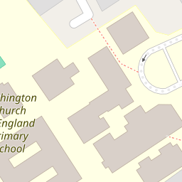
Nearby Schools
| Name | Type | Ofsted | Distance |
|---|---|---|---|
| Birchington Church Of England Primary School | Voluntary Controlled School | Good | 0.19 KM |
| Birchington Children'S Centre | Children's Centre | 0.24 KM | |
| The Llewellyn School And Nursery | Other Independent Special School | Good | 0.37 KM |
| King Ethelbert School | Academy Converter | Good | 1.60 KM |
| Ursuline College | Academy Converter | Good | 2.16 KM |
Images
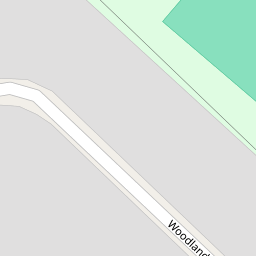
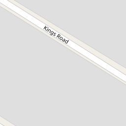
Nearby Streets
| Name | Average Price | Average Sqft | Distance |
|---|---|---|---|
| Woodland Avenue | £ 334,500 | 0 | 0.00 KM |
| Brunswick Road | £ 439,999 | 0 | 0.00 KM |
| Laming Road | £ 0 | 0 | 0.00 KM |
| Park Avenue | £ 298,000 | 0 | 0.00 KM |
| Kings Road | £ 369,416 | 0 | 0.00 KM |
Nearby Transport
| Name | NLC | TLC | Distance |
|---|---|---|---|
| Birchington-On-Sea | 5163 | BCH | 1.29 KM |
| Westgate-On-Sea | 5195 | WGA | 3.42 KM |
| Minster | 5019 | MSR | 4.56 KM |
| Margate | 5018 | MAR | 7.09 KM |
Nearby Listings
| Address | Price | Type | Score | Distance |
|---|---|---|---|---|
| Park Lane, Birchington, Kent, CT7 | £ 375,000 | BUY | 7 / 10 | 0.00 KM |
| Park Lane, Birchington, Kent | £ 290,000 | BUY | Unknown | 0.05 KM |
| Park Lane, Birchington, CT7 | £ 275,000 | BUY | 6 / 10 | 0.07 KM |
| Brunswick Road, Birchington, CT7 | £ 250,000 | BUY | 7 / 10 | 0.14 KM |
| Kings Road, Birchington, CT7 | £ 300,000 | BUY | 6 / 10 | 0.16 KM |
Nearby Properties
| Address | Price | Distance |
|---|---|---|
| 97 Park Lane | £ 340,000 | 0.00 KM |
| 89 Park Lane | £ 160,000 | 0.00 KM |
| 79 Park Lane | £ 375,000 | 0.00 KM |
| 71 Park Lane | £ 205,000 | 0.00 KM |
| 85 Park Lane | £ 132,000 | 0.00 KM |