UN
32 Auckland Avenue
£ 140,000
Description
We don't have a Description for this property.
- Bedrooms
- 5
- Bathrooms
- 0
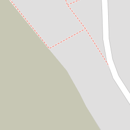
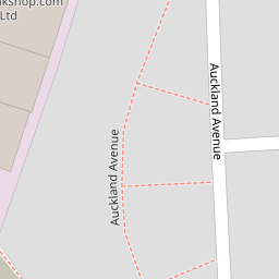

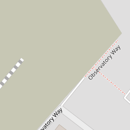
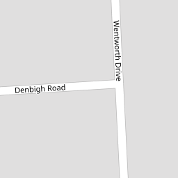

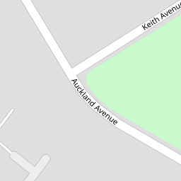

Leaflet © OpenStreetMap contributors
The heatmap indicates the level of crime in the area. The color of the heatmap indicates the crime severity and recency.
Metrics Year-on-Year
- Average area value
- 378,541.00 £Decreased by 23.06 %
- Average area rental value
- 1,958.00 £/moIncreased by 7.17 %
- Est rental Yield
- 6.21 %Increased by 39.24 %
- Crime Rate
- 16.00 %Unchanged by 0.00 %
from 491,975.00 £
from 1,827.00 £/mo
from 4.46 %
from 16.00 %
Nearby Schools
| Name | Type | Ofsted | Distance |
|---|---|---|---|
| Newington Community Primary School | Community School | Outstanding | 0.32 KM |
| Newington Children'S Centre | Children's Centre | 0.37 KM | |
| Laleham Gap School | Foundation Special School | Good | 0.69 KM |
| Small Haven School | Other Independent Special School | Good | 0.96 KM |
| Ramsgate Arts Primary School | Free Schools | Good | 1.01 KM |
Images
Nearby Streets
| Name | Average Price | Average Sqft | Distance |
|---|---|---|---|
| Garden Drive | £ 0 | 0 | 0.00 KM |
| Wentworth Drive | £ 0 | 0 | 0.00 KM |
| King Charles Avenue | £ 280,000 | 0 | 0.00 KM |
| Hobart Road | £ 222,498 | 0 | 0.00 KM |
| Staner Court | £ 127,500 | 0 | 0.00 KM |
Nearby Transport
| Name | NLC | TLC | Distance |
|---|---|---|---|
| Ramsgate | 5023 | RAM | 1.92 KM |
| Dumpton Park | 5034 | DMP | 4.04 KM |
| Margate | 5018 | MAR | 5.03 KM |
| Broadstairs | 5006 | BSR | 5.25 KM |
| Westgate-On-Sea | 5195 | WGA | 7.03 KM |
Nearby Listings
| Address | Price | Type | Score | Distance |
|---|---|---|---|---|
| Observatory Way, Ramsgate, Kent, CT12 | £ 295,000 | BUY | 8 / 10 | 0.11 KM |
| Observatory Way, Ramsgate, CT12 | £ 295,000 | BUY | Unknown | 0.11 KM |
| INCENTIVES AVAILABLE! West Kent @ Manston Gardens, Ramsgate, Kent | £ 105,000 | BUY | 6 / 10 | 0.20 KM |
| Meridian Close, Ramsgate, Kent, CT12 | £ 299,950 | BUY | 7 / 10 | 0.20 KM |
| Wentworth Drive, Ramsgate, CT12 6JL | £ 250,000 | BUY | 7 / 10 | 0.20 KM |
Nearby Properties
| Address | Price | Distance |
|---|---|---|
| 23 Auckland Avenue | £ 175,000 | 0.00 KM |
| 32 Auckland Avenue | £ 140,000 | 0.00 KM |
| 3 Observatory Way | £ 125,000 | 0.10 KM |
| 42 Observatory Way | £ 159,500 | 0.10 KM |
| 4 Observatory Way | £ 150,000 | 0.10 KM |